by Diane H Peapus
UPDATE: Diane Peapus has put up the Nature Cache site. Check it out here.
Save the Pine Bush is a shining example of the power of public participation in conservation. We can only imagine how our landscapes would look if a larger portion of the public had the sense of land stewardship that is so prevalent at Save the Pine Bush. As we reach out to educate the public on land stewardship, we find a broader and broader “public” distracted by more and more materials of modern life. As an educator, I seek to turn these distractions into tools. How can I use cell phones to teach chemistry, or PlayStations to teach biology?
An upcoming web page sponsored by the NYS Museum will use GPS (global positioning system) to encourage a sense of public land stewardship while establishing a habitat monitoring program.
Imagine finding historic photographs all taken from the same photo point, lining up the views, arranging them by date and giving a time series slide show. This would surely reveal habitat change.
Now, imagine the photo point is in the Pine Bush. If we post today’s view and its GPS coordinates on an educational web site, ask web users to visit the Pine Bush and re-take the photos, then add each new photo to the time series slide show, we can monitor the habitat each time someone visits the photo point.
Save the Pine Bush has taken monthly hikes for years. Once a person visits the Pine Bush, they develop a sense of appreciation for the unique landscape. The web site would encourage different types of visitors to enjoy the Pine Bush, and their participation will bring a sense of stewardship. But even web visitors who can’t visit the Pine Bush will be able to view the slide show and grasp the need for land stewardship.
I’m looking for historic photos.
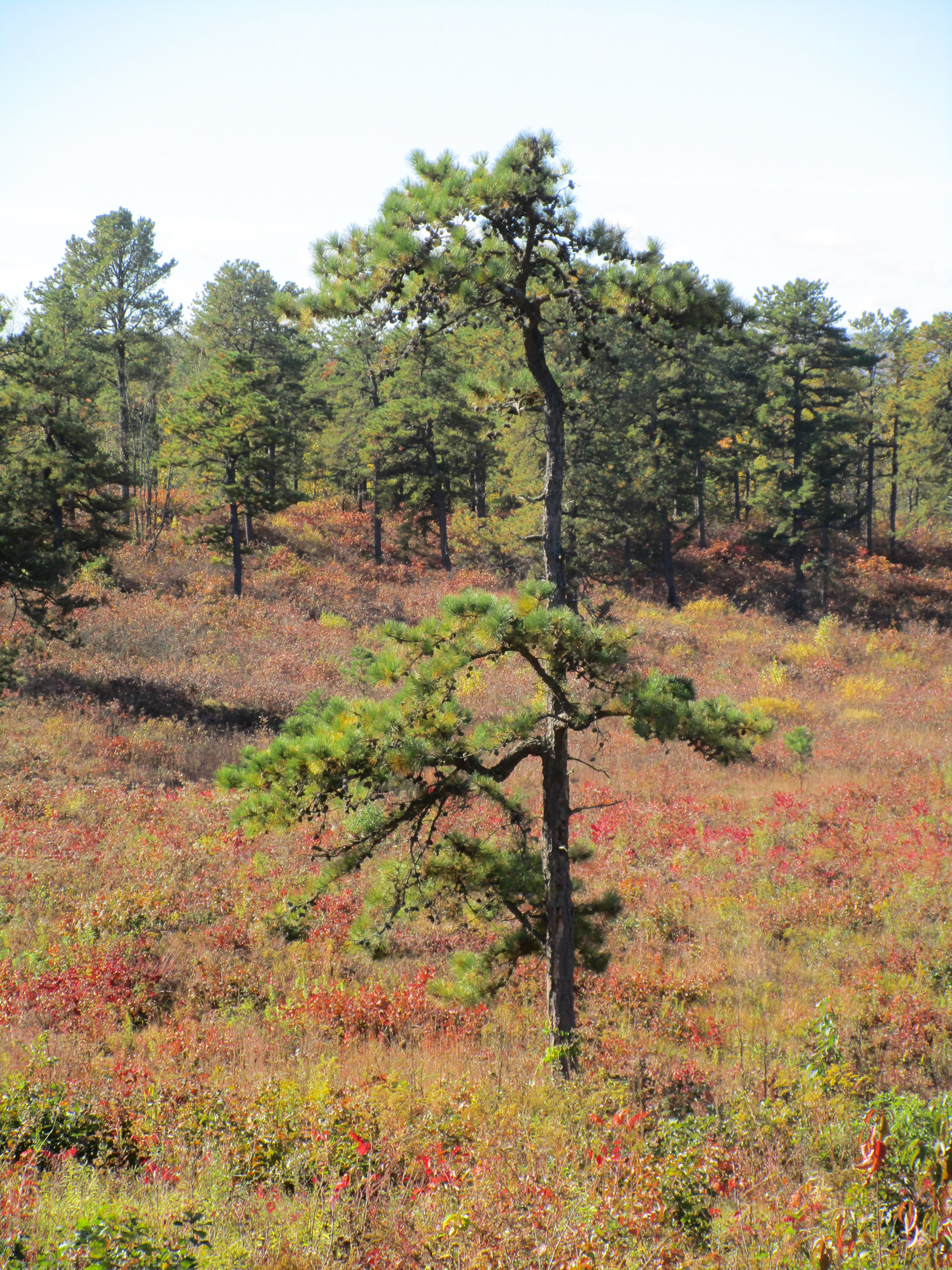
They don’t have to be “deep” history. I’m already seeing habitat change in photos that span only 5 – 10 years. And they don’t have to be the greatest or most artistic photos, either. Ideal photos would illustrate then/now landscapes that demonstrate conservation issues, such as…
• Burn restoration
• Mechanical restoration (removal of aspen, for example)
• Development (photos that include edges of development sites are best, as there is still some natural habitat to monitor)
• Invasive species
• Dune erosion
• Changes in wetlands & streams
• Overall landscape
Since the then/now viewscape concept is the most convincing feature of the time series, I’m looking for photos where something remains in the landscape that can be matched to the scene today. If someone remembers where they were when they took the photograph, that’s even better.
Since we’ll be encouraging web users to visit the photo points, photos need to be included which were taken on trail or just off the roadway. In addition, I can’t post images that have identifiablepeople.
If anyone out there has potential Albany Pine Bush Nature Cache photo points, I’d love to include them.
Diane H Peapus teaches biology and chemistry at a number of local colleges and consults with non-profit organizations and museums on educational programs. She was Interpretive Planner at the MuseumOfTheEarth.org and can be reached at dhpeapus@alum.rpi.edu. For those who want to learn more about GPS in educational web sites, try EarthCache.org
Printed in August/September 2005 Newsletter