What is the Pine Bush?
The Pine Bush is the only sizable inland pine barrens sand dunes in the United States, and is recognized world&endash;wide as a unique pine barrens ecosystem. It contains over 300 species of vertebrate animals, over 1,500 species of plants, and over 10,000 species of insects and other invertebrate animals. Many of them are rare and restricted to the Pine Bush habitat. Its most famous occupant, the Karner Blue Butterfly, is on the Federal and State’s endangered species list.
Where is the Pine Bush?
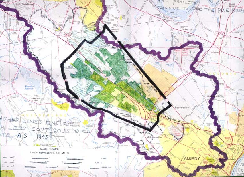
The Pine Bush is located in the Capital District, between Albany and Schenectady. The boundaries are Fuller Road on the east, Route 5 (Central Avenue) on the North, Route 146 on the west, and Route 20 (Western Avenue) on the South. The Pine Bush is located in three municipalities-Albany, Guilderland and Colonie. The Pine Bush originally encompassed 58,000 acres and extended from downtown Albany all the way to Rotterdam. Now, there are only 5,000 acres remaining. Of that, roughly 3,300 acres has been preserved with the rest threatened by development.
What makes the Pine Bush famous?
The Pine Bush has played an important historical role in the development of Albany and Schenectady and is enshrined in the literary heritage of the United States. The Song of Hiawatha by William Wadsworth Longfellow is sung by the Indian brave from the Vale of Tawasentha located in the Pine Bush. George Washington wrote of the Pine Bush in his diaries while traveling in upstate New York during the Revolutionary War. In Moby Dick, Herman Melville describes the dark beauty of the Pine Bush in a long account of a stage coach ride from Albany to Schenectady. Vladimir Nabokov and other writers have written about the mystery and beauty of the Pine Bush.
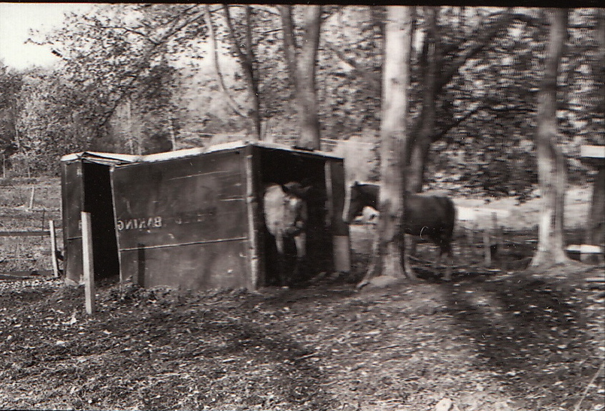
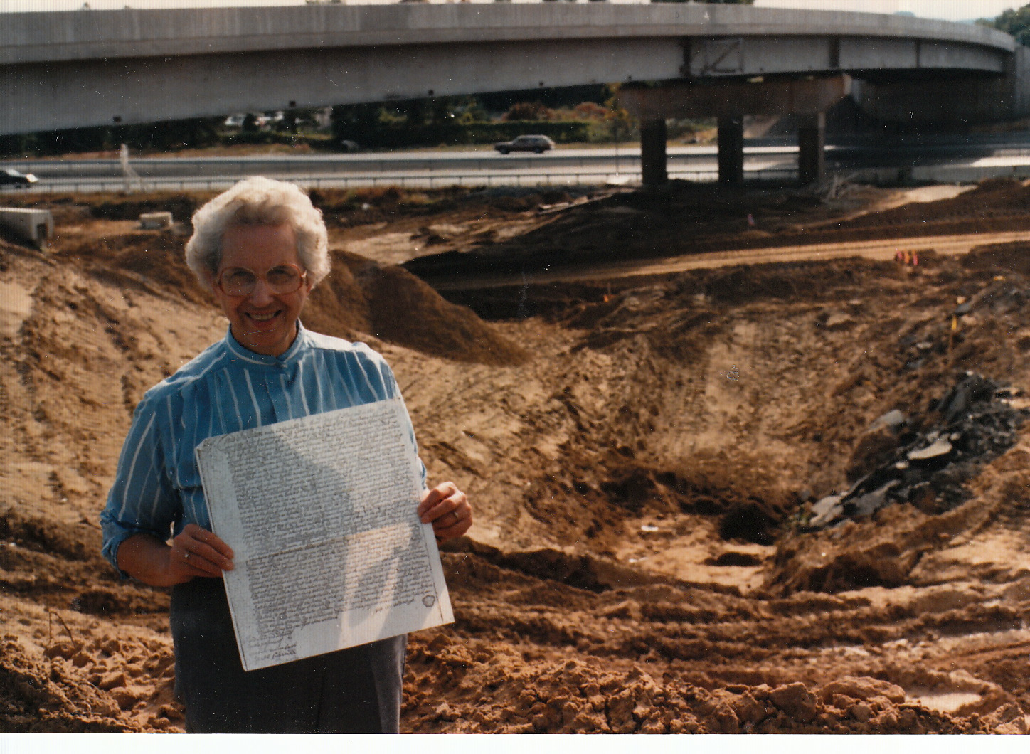
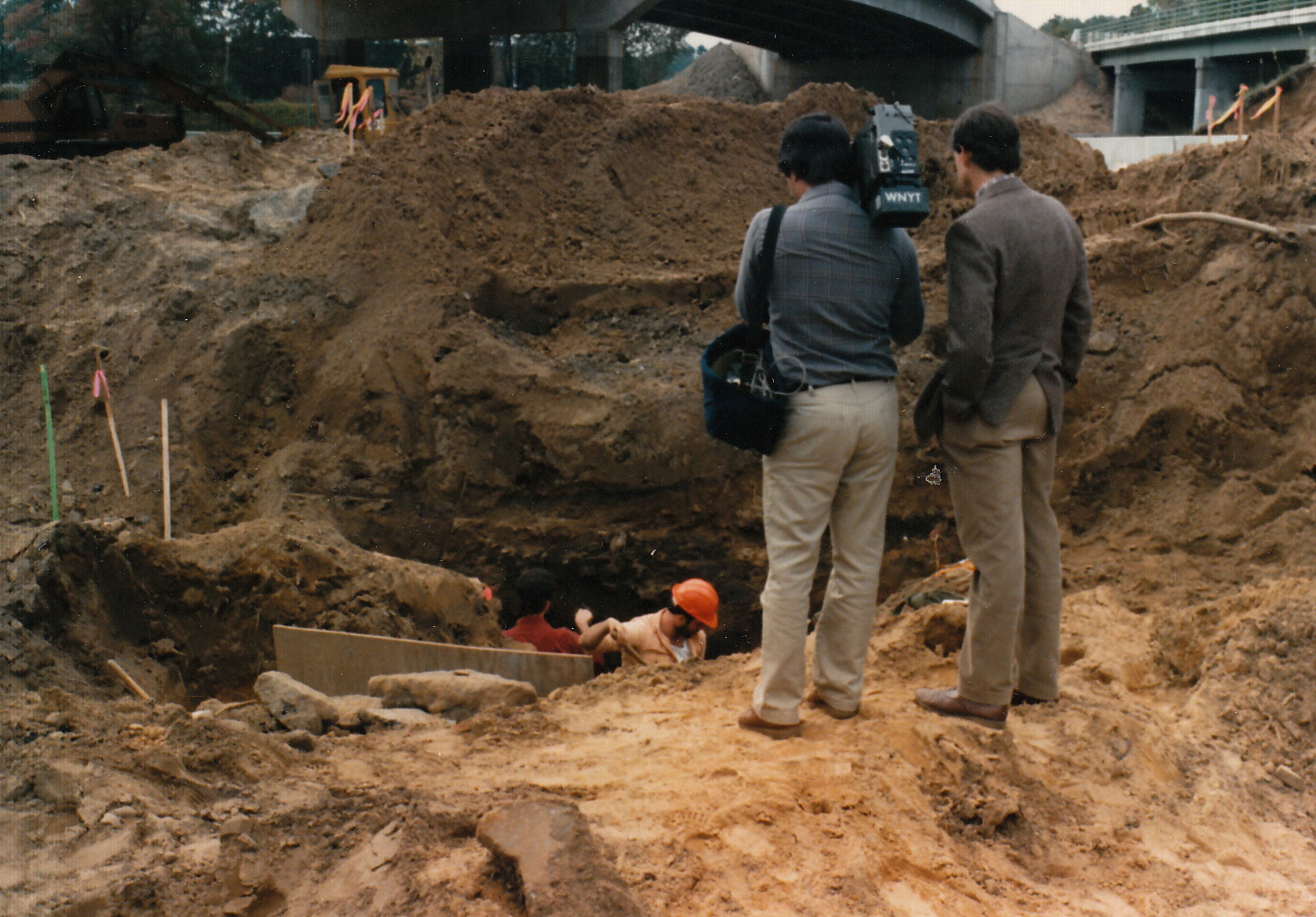
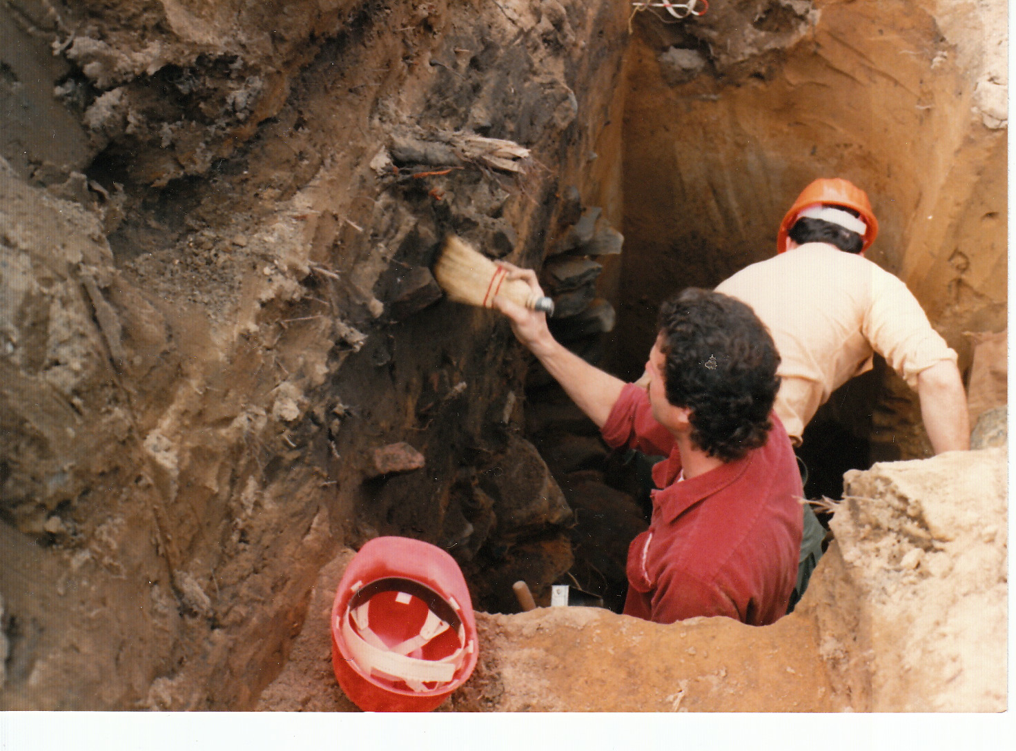
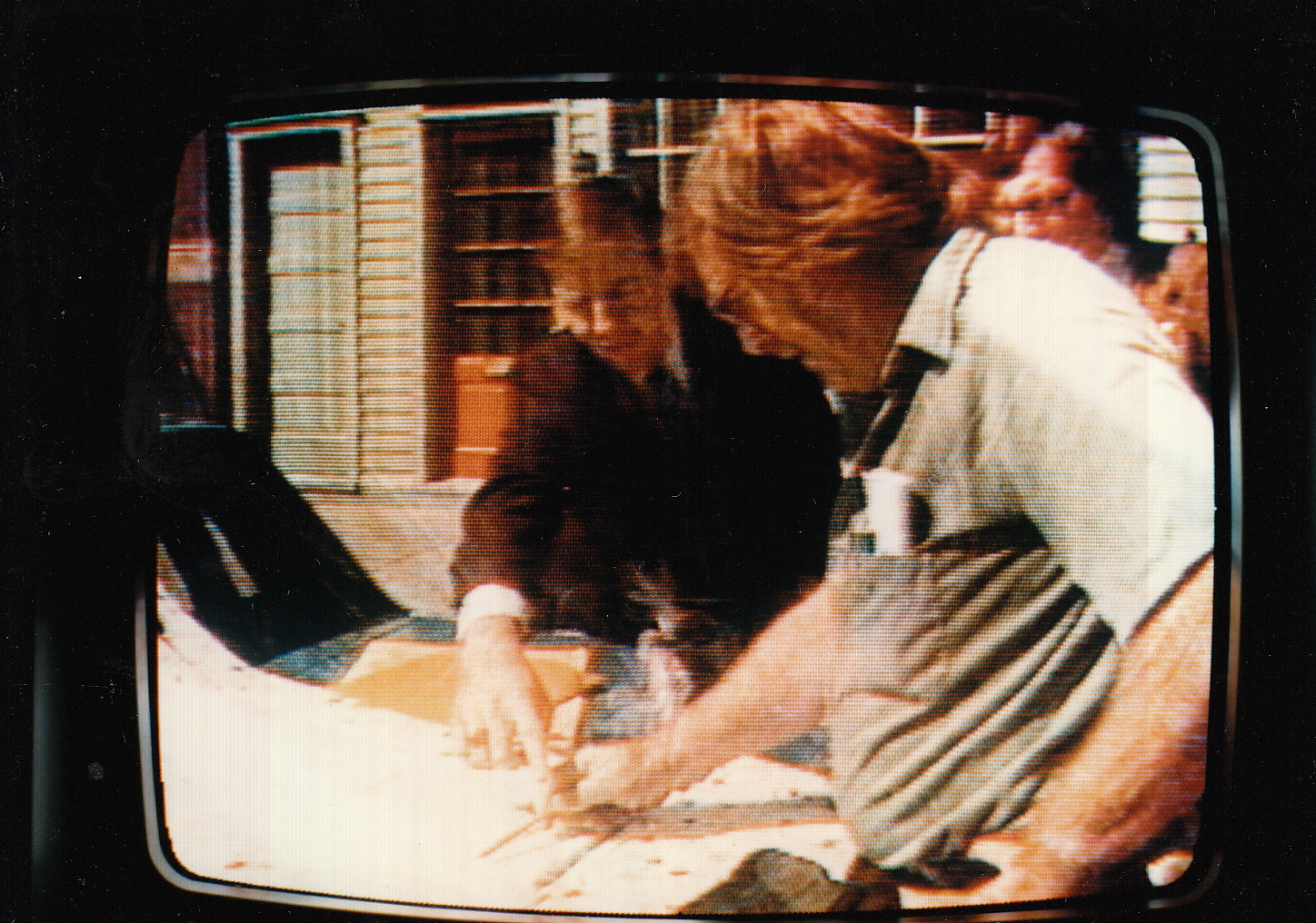
Betty’s Ranch 
Betty’s Ranch 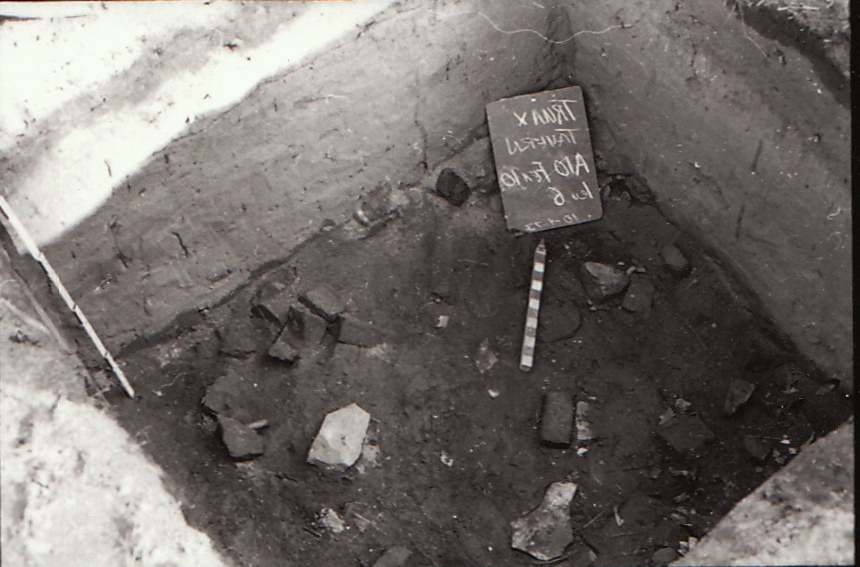
Betty’s Ranch 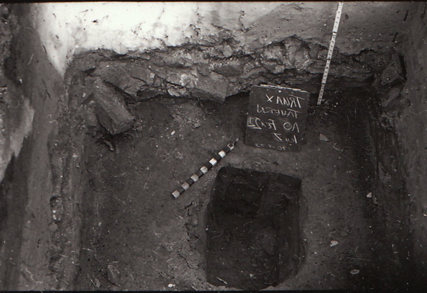
Betty’s Ranch 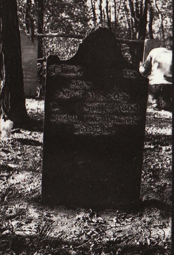
Betty’s Ranch 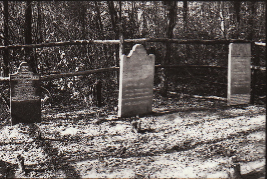
Betty’s Ranch 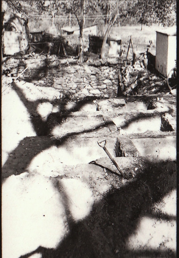
Betty’s Ranch 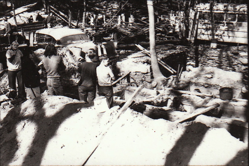
Betty’s Ranch 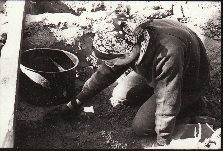
Betty’s Ranch

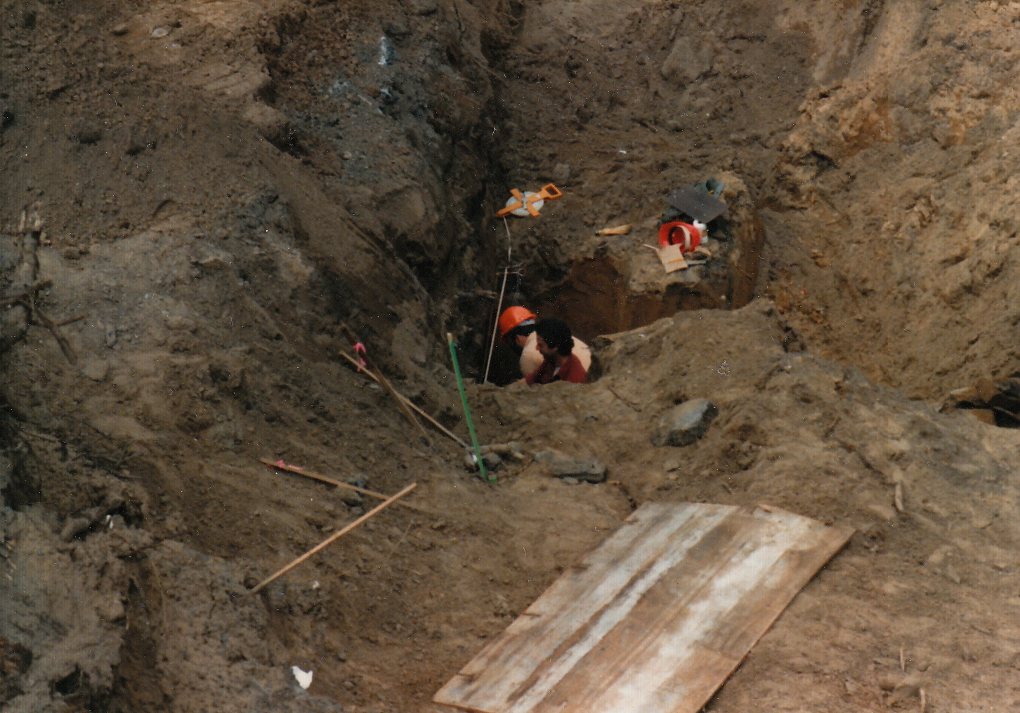
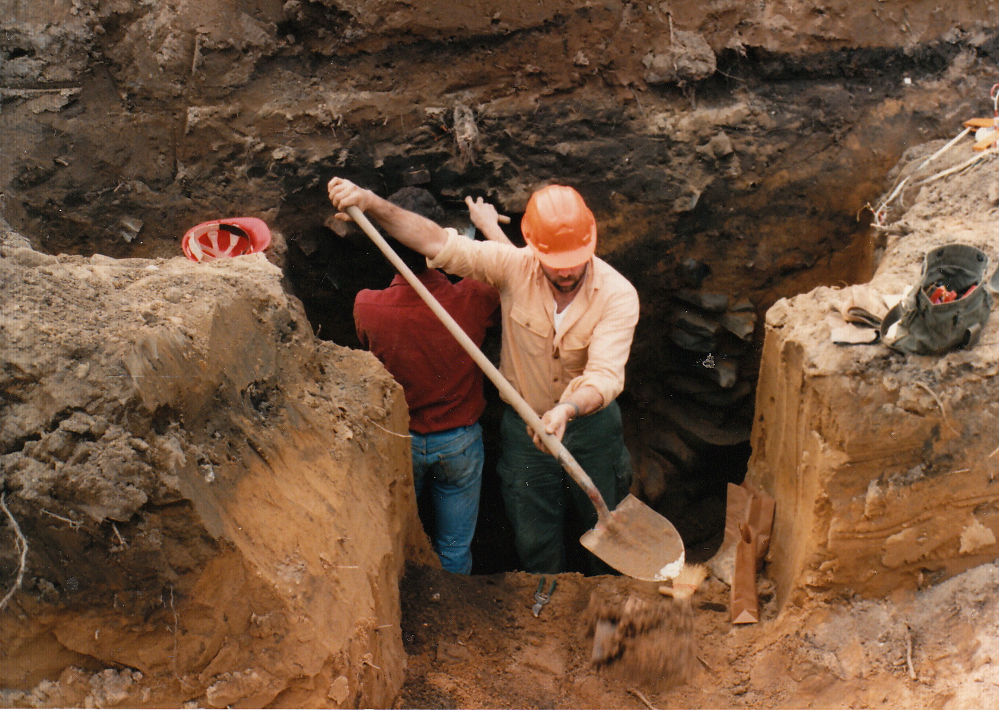
11/4/86 Gregg Bell John Wolcott Ameature Archaologists 
11/4/86 Gregg Bell John Wolcott Ameature Archaologists 
11/4/86 Gregg Bell John Wolcott Ameature Archaologists 
11/4/86 Gregg Bell John Wolcott Ameature Archaologists 
11/4/86 Gregg Bell John Wolcott Ameature Archaologists 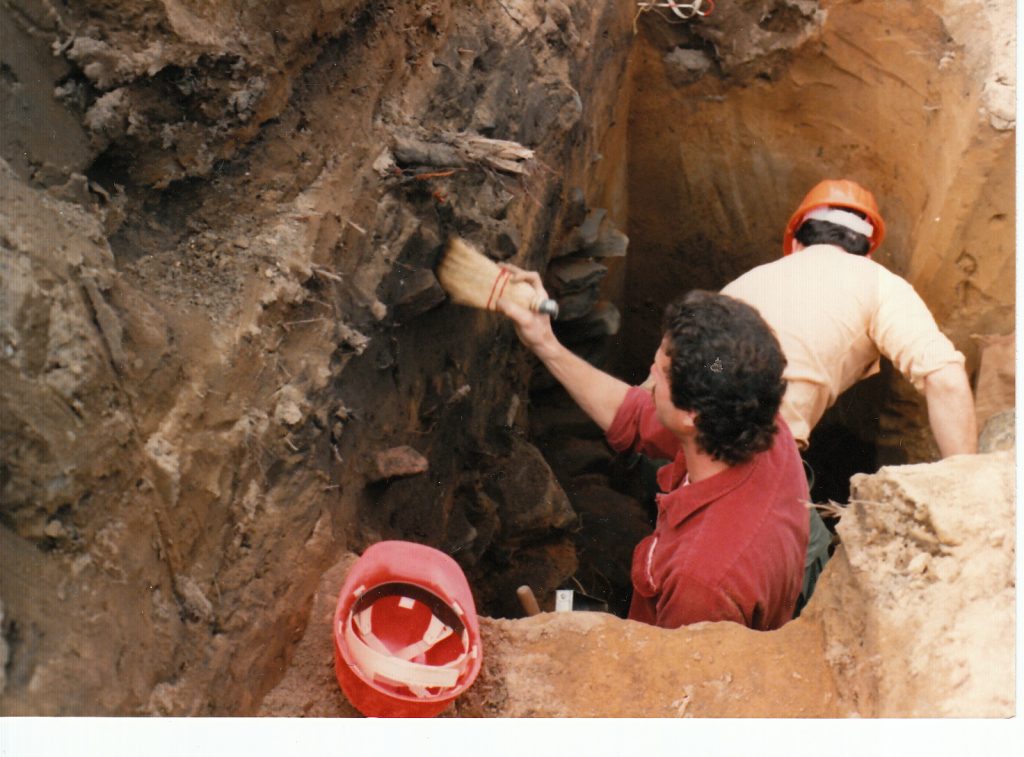
11/4/86 Gregg Bell John Wolcott Ameature Archaologists 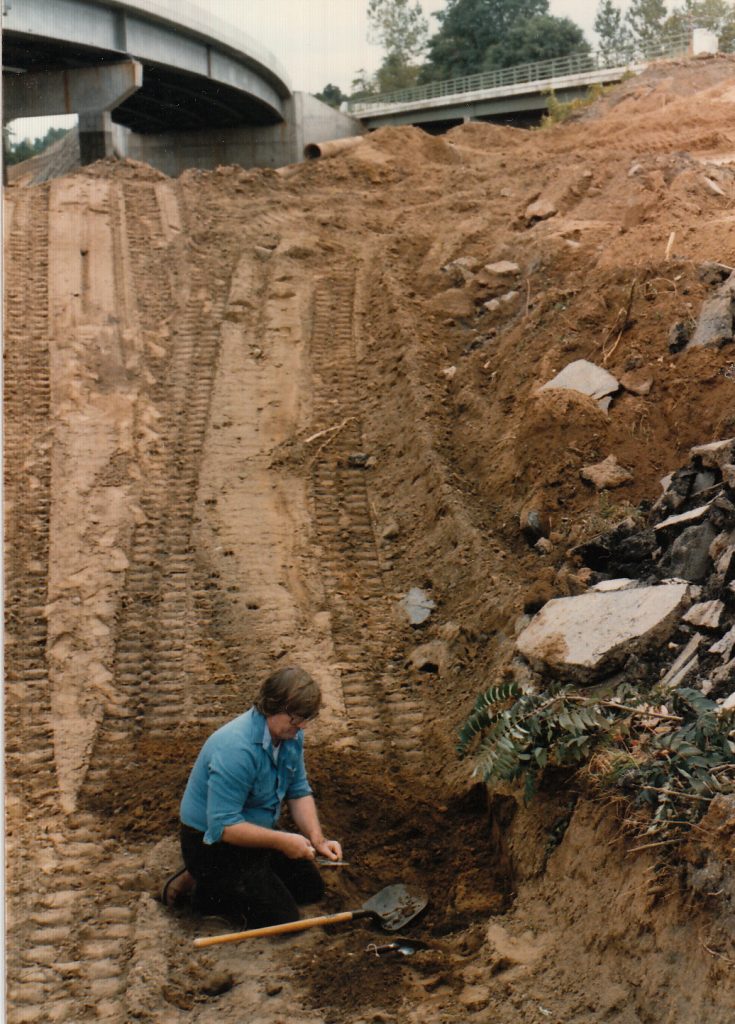
11/4/86 Gregg Bell John Wolcott Ameature Archaologists 
11/4/86 Gregg Bell John Wolcott Ameature Archaologists 
11/4/86 Gregg Bell John Wolcott Ameature Archaologists 
11/4/86 Gregg Bell John Wolcott Ameature Archaologists


Why is the Pine Bush in danger?
The Pine Bush is located in the geographic center of the Capital District and is subject to great development pressures. Developers are making new proposals every day to construct houses and office buildings which would destroy the Pine Bush. The first picture is classic, but somewhat overgrown Pine Bush. The next pictures are from the development of the Pyamid Crossgates Maul, which not to long ago, looked like the picture on the left.
Crossgates site in 1970s 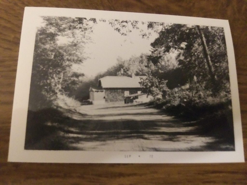
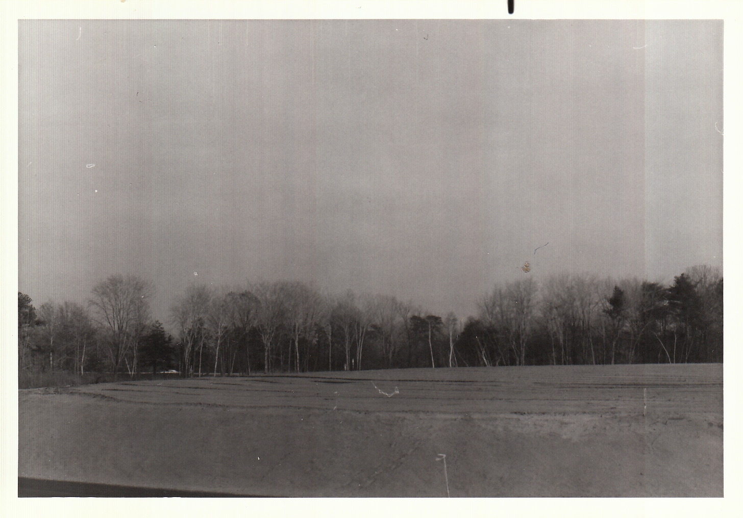
Rapp Road in 1972 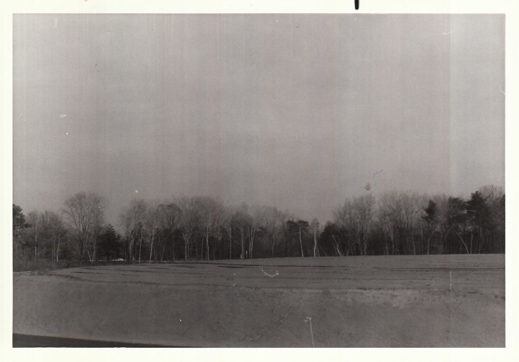
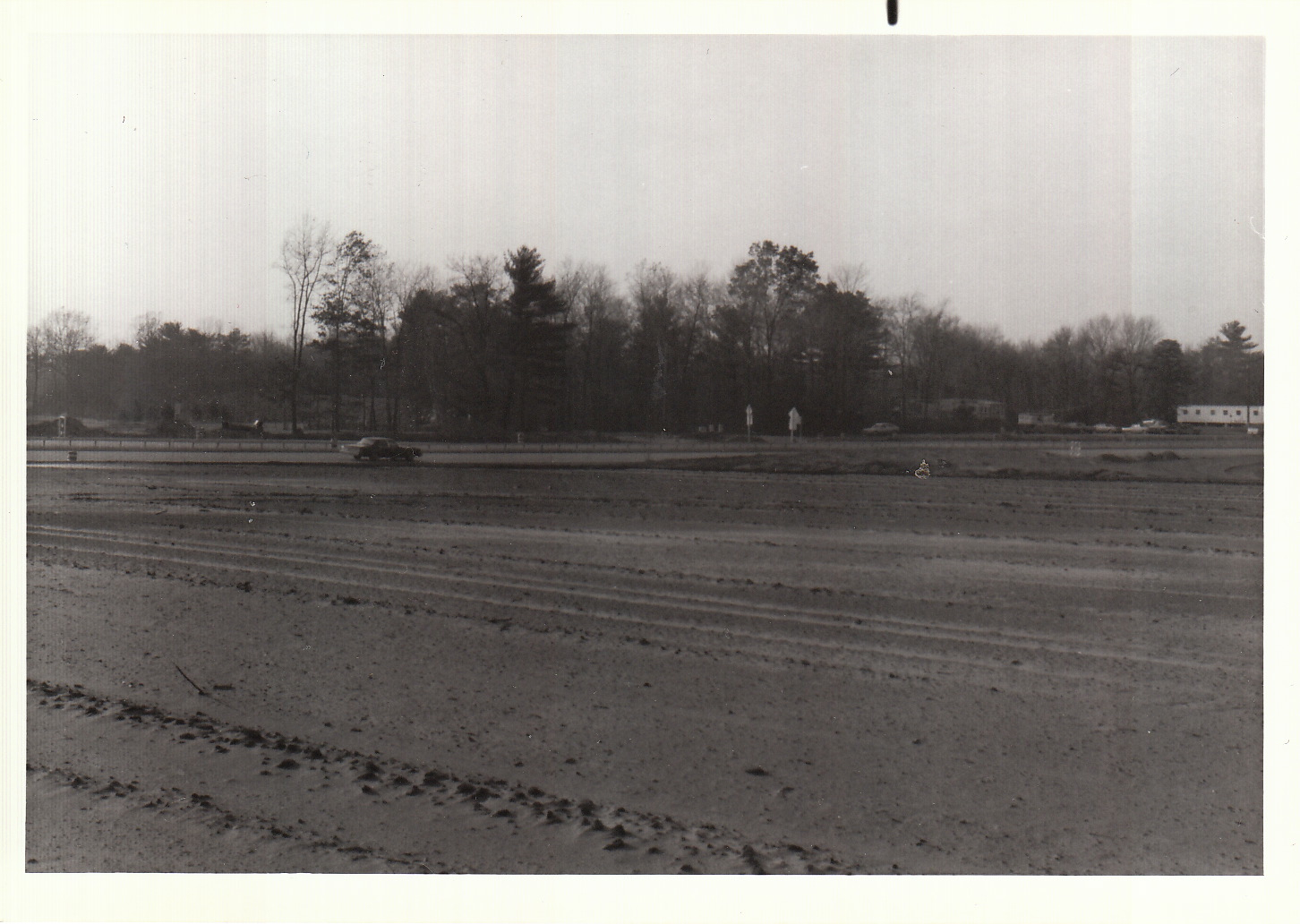
grading at the crossgates site 1980 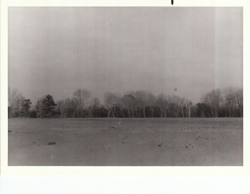
grading at the crossgates site 1980 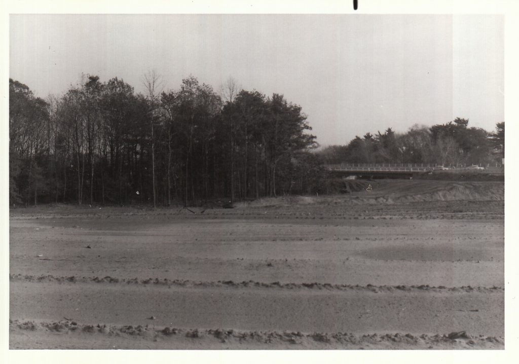
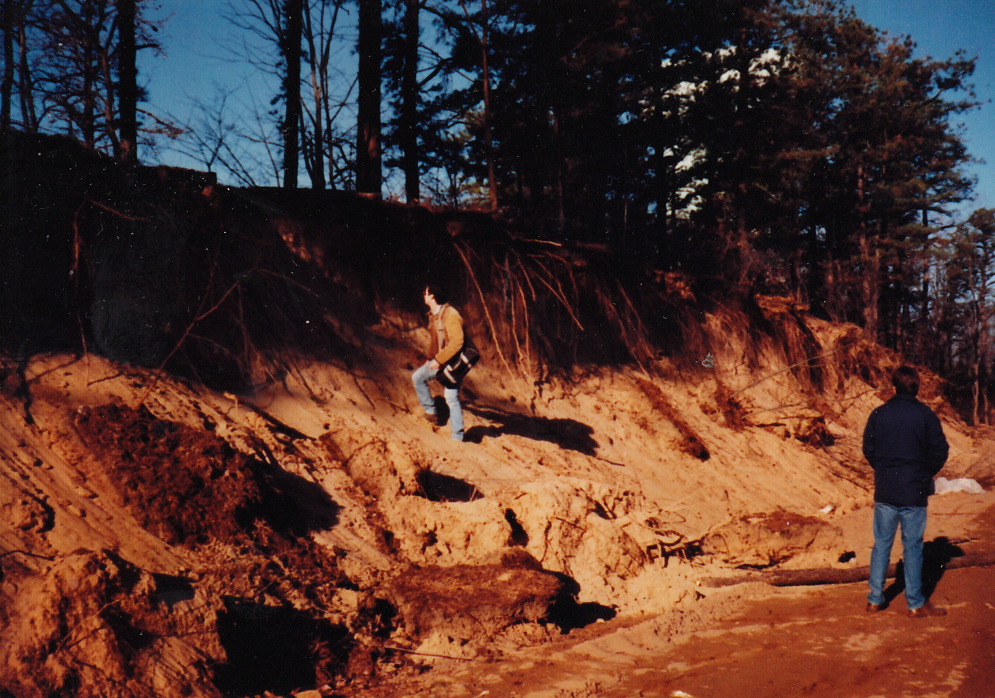
grading at the crossgates site 1981 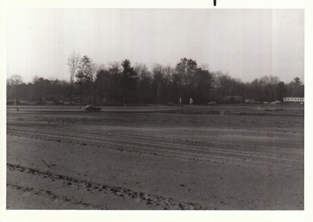
grading at the crossgates site 1981 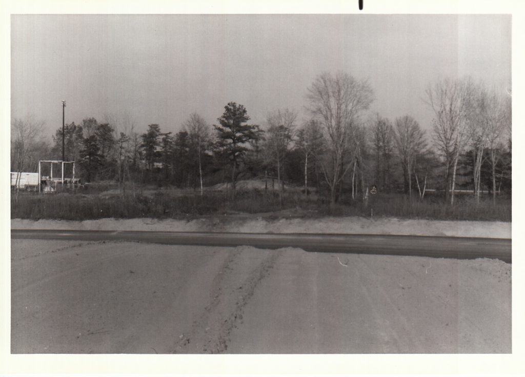
grading at the crossgates site 1982 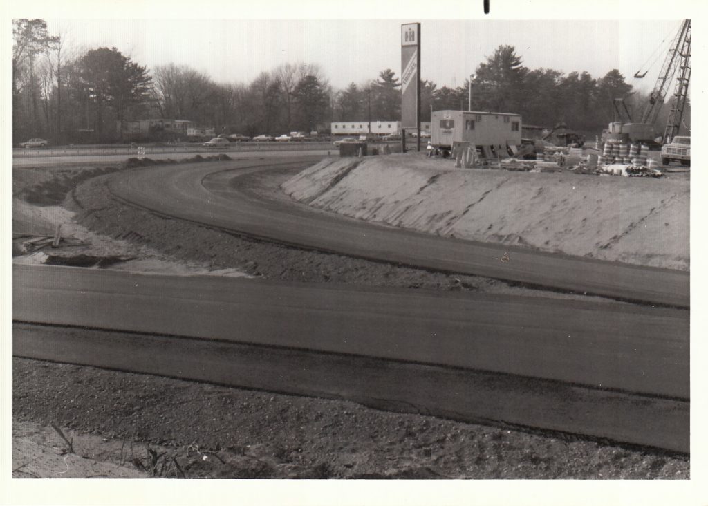
grading at the crossgates site 1990 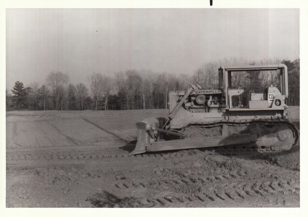
grading at the crossgates site 1990 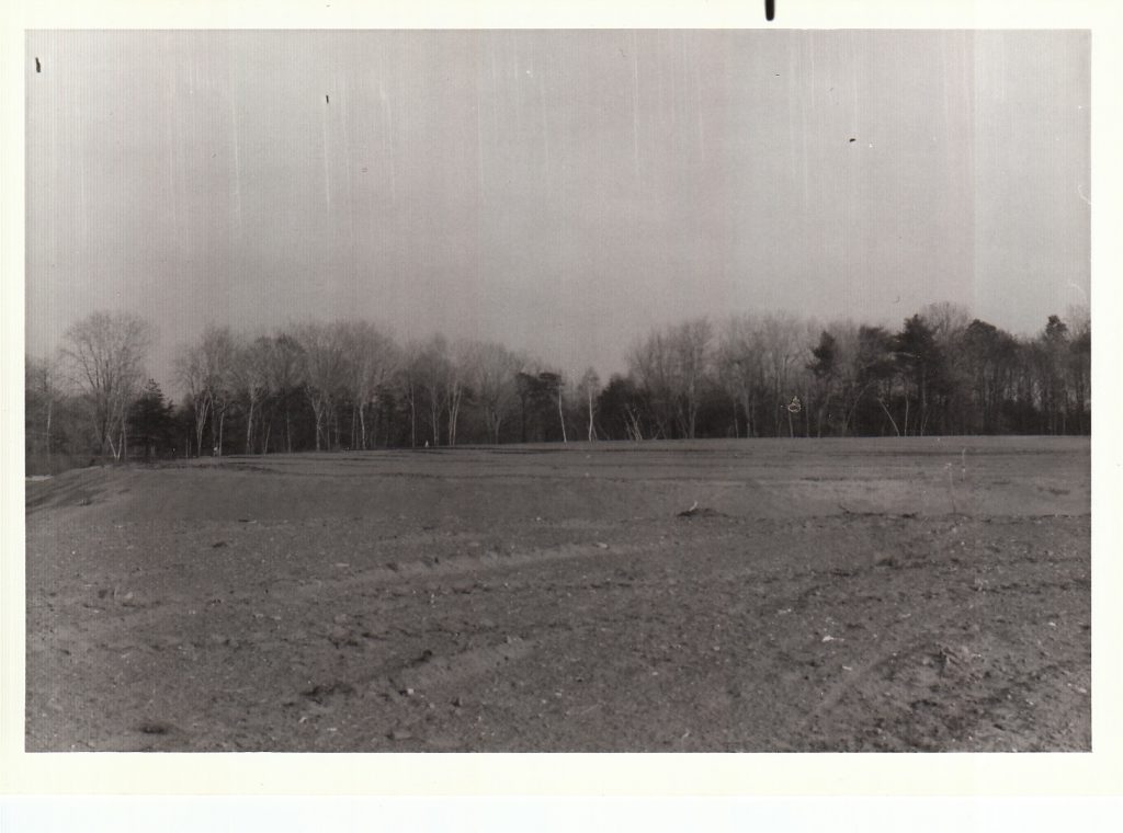
grading at the crossgates site 1990 
Crossgates Expansion cuts into dune, 1990 
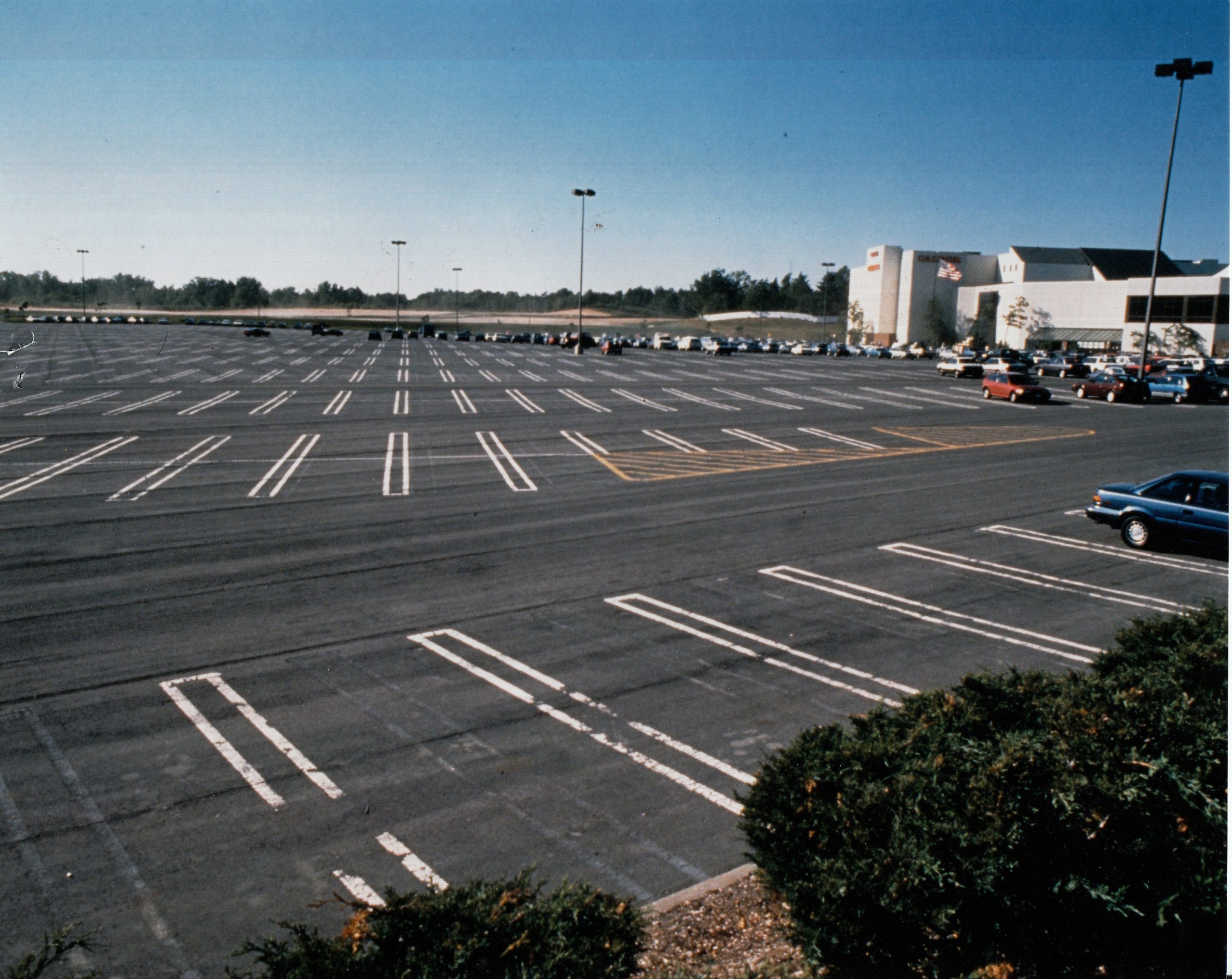
Crossgates Mall Parking Lot circa 1995


The above map shows the eastern Albany Pine Bush in 1952 (left) and 2020 (right). You can view it full screen. Large sections of the Pine Bush were leveled for Crossgates Maul. Areas in yellow are the Butterfly Corridor, which has been preserved in a large part thanks to the work of Save the Pine Bush. Green areas are dedicated Albany Pine Bush.
Death by a Million Cuts
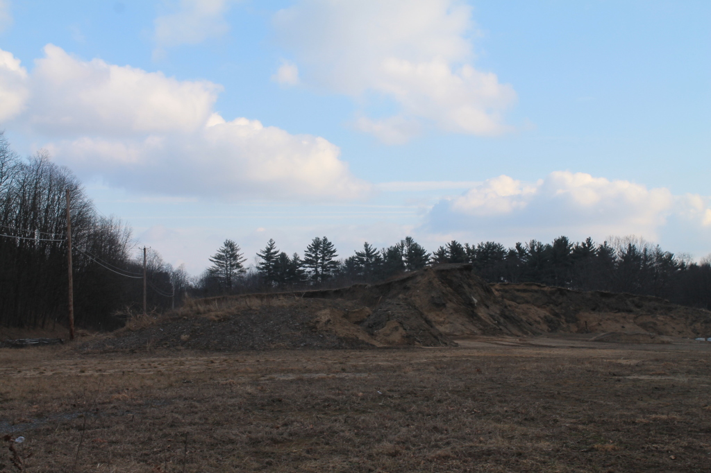
Mining sand dunes, 2000s 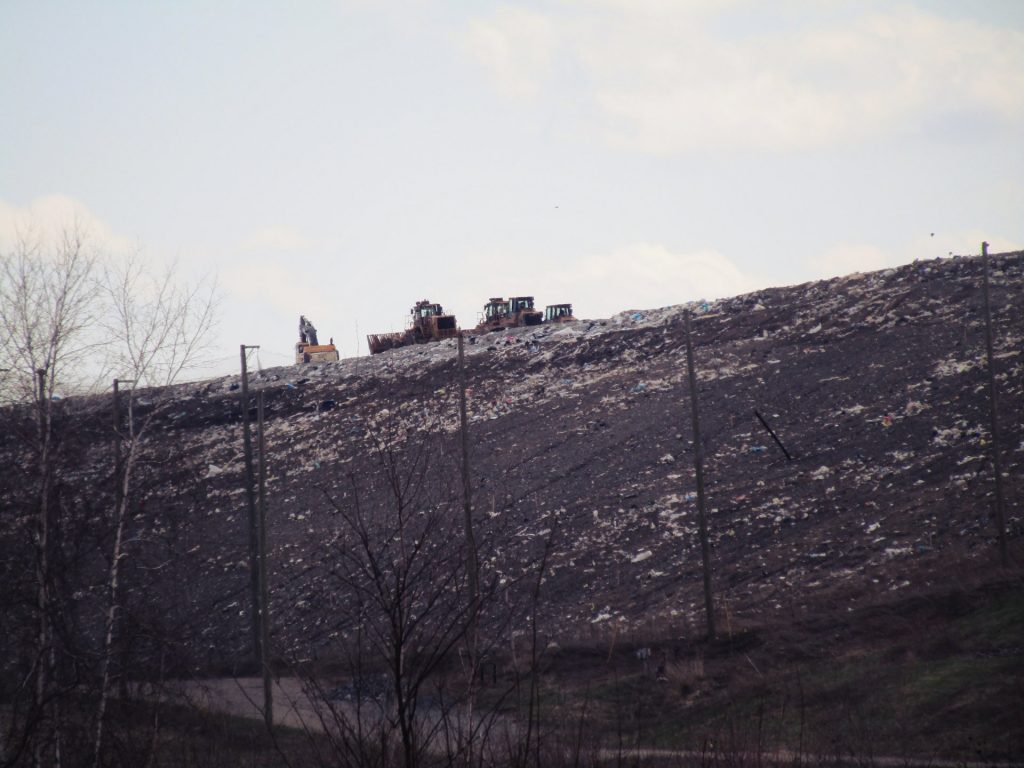
landfill expansion in 2010 into pine bush 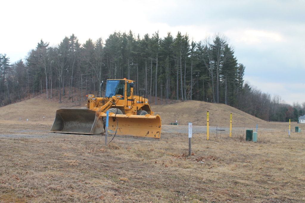
Bulldozer cutting into dune in Western Pine Bush for housing development, 2010s

While Save the Pine Bush years of litigation and community activism have saved thousands of acres of Albany Pine Bush Preserve, significant wild-lands lands still exist without protection and development of the Pine Bush continues one acre at a time. Scroll around the below map to see what of the Pine Bush is preserved and what is under threat of development.
On the left is an aerial photo from 1995, and on the right is an aerial photo from 2020. You can see below lands that are preserved (green) and conservation easement (yellow) as of 2019. As this map shows many wild lands remain unpreserved in the Pine Bush. You can view this map full-screen. Click on the parcels to see current ownership from county tax records. To assist with more detailed comparison, you can look at the 1995 vs 2020 map without labels.
Above is a topographic map of the Albany Pine Bush in 1893, 1927, 1953, 1980, 1995 and today, showing the nibbling away of the Pine Bush over the past 120 years by various highways and developments.
The Good News: 3,300 acres of endangered Pine Bush forever preserved
As of the summer of 2019, 3,313 acres or slightly more then 5 square miles of Albany Pine Bush has been preserved, with over 20 miles of established trails. You are encouraged to explore and observe all the natural beauty of Albany Pine Bush Preserve, and join us in the fight to save the remaining acres.
Rainy afternoon at Blueberry Hill 
Autumn – Blueberry Hill West 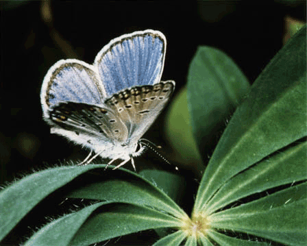
Karner Blue Butterfly 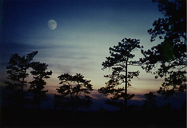
Doug Morse photo, early1990s 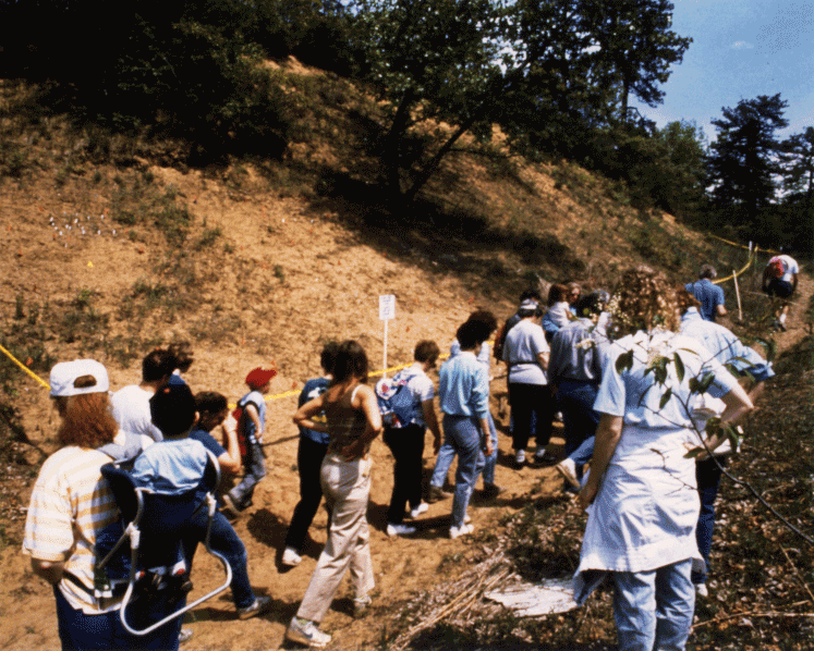
Pine Bush Hike, 1990 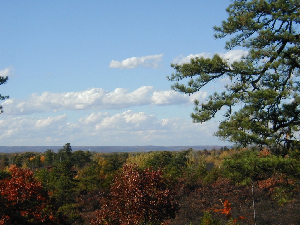
Settles Hill from Overlook Dune, 2000s 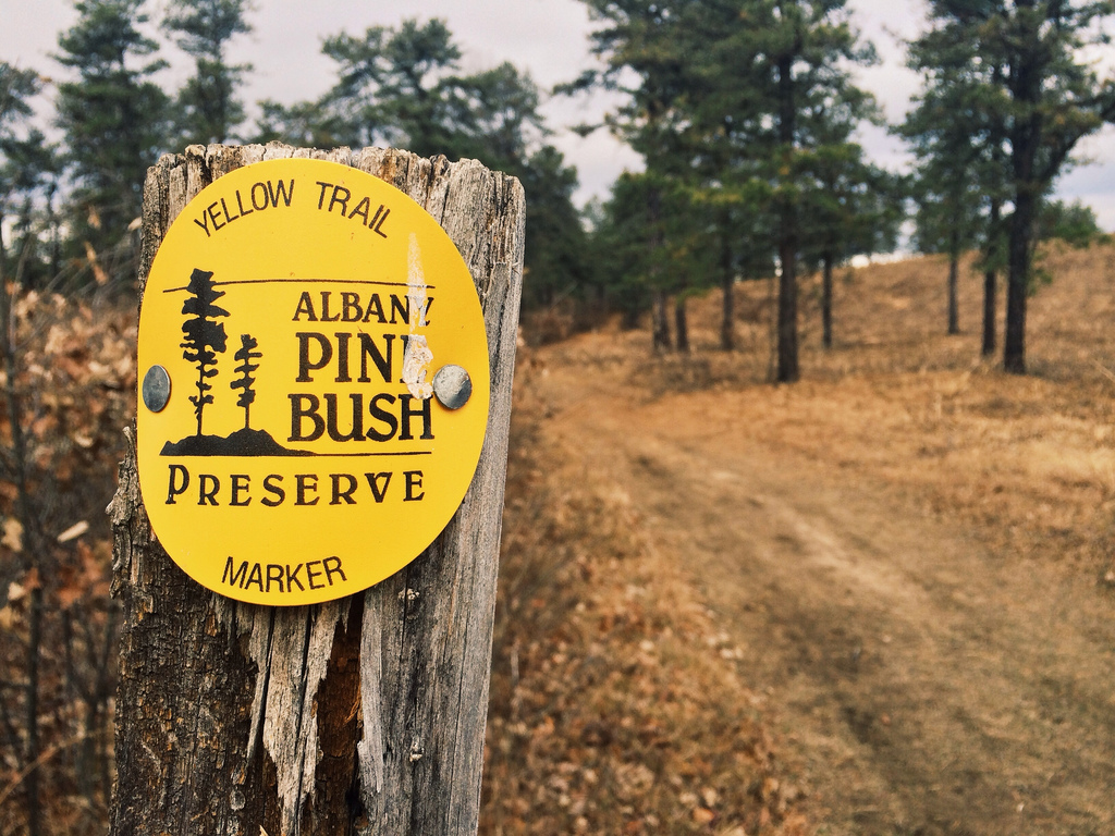
Pine Bush marker 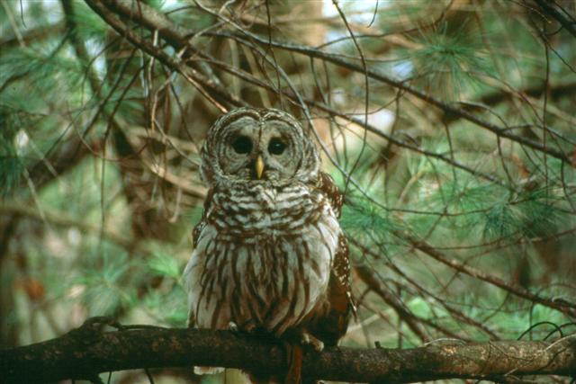
Barred Owl at the Pine Bush 
May 2006 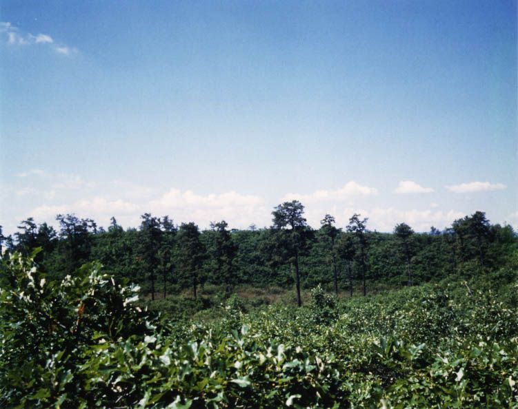
May 2006 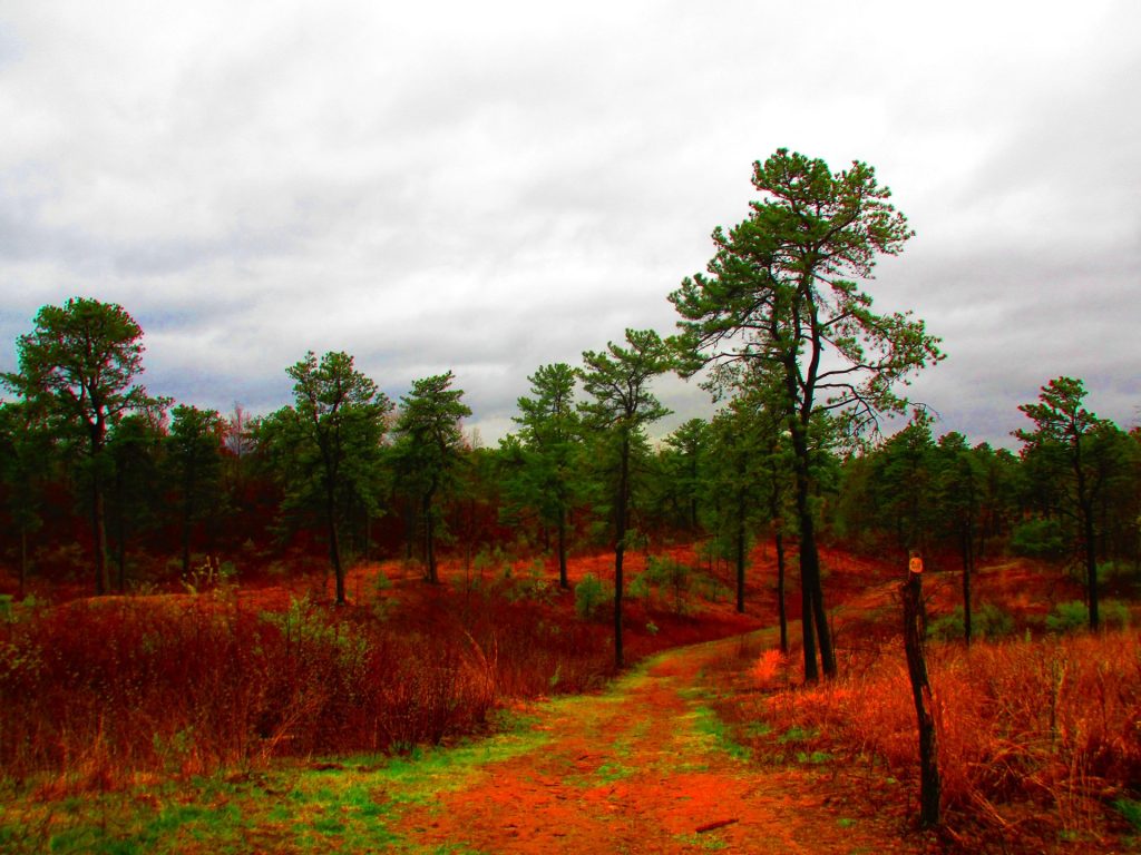
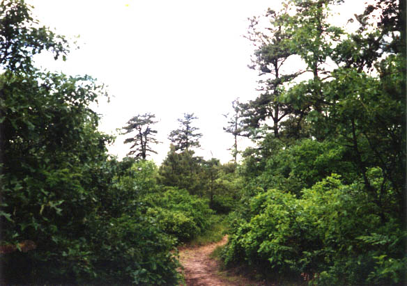
Even cloudy fall days are nice for hiking 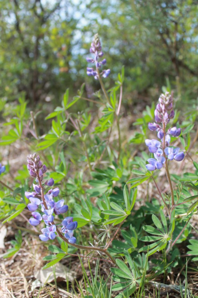
Wild lupine 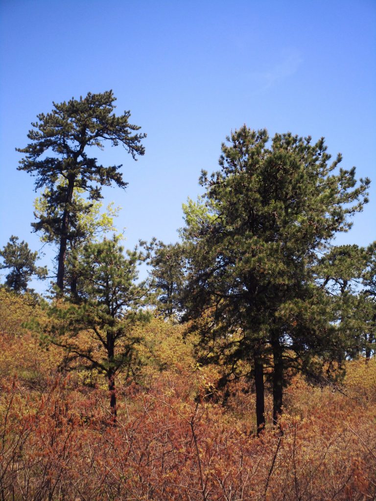
May 2013 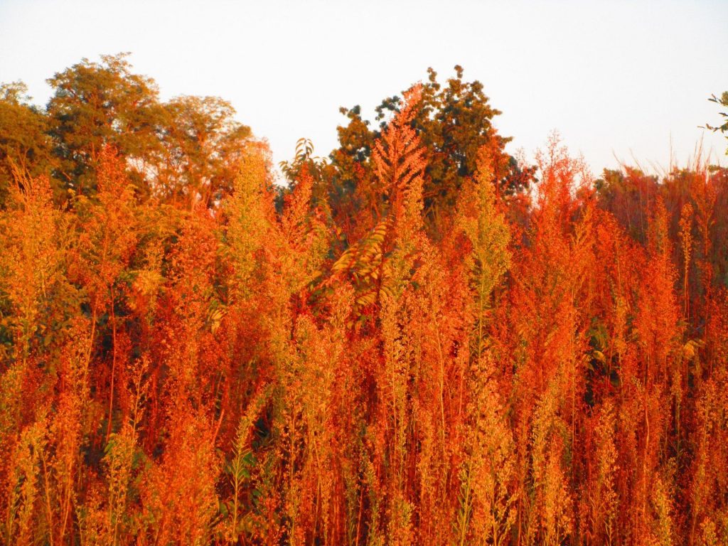
Autumn colors in Pine Bush 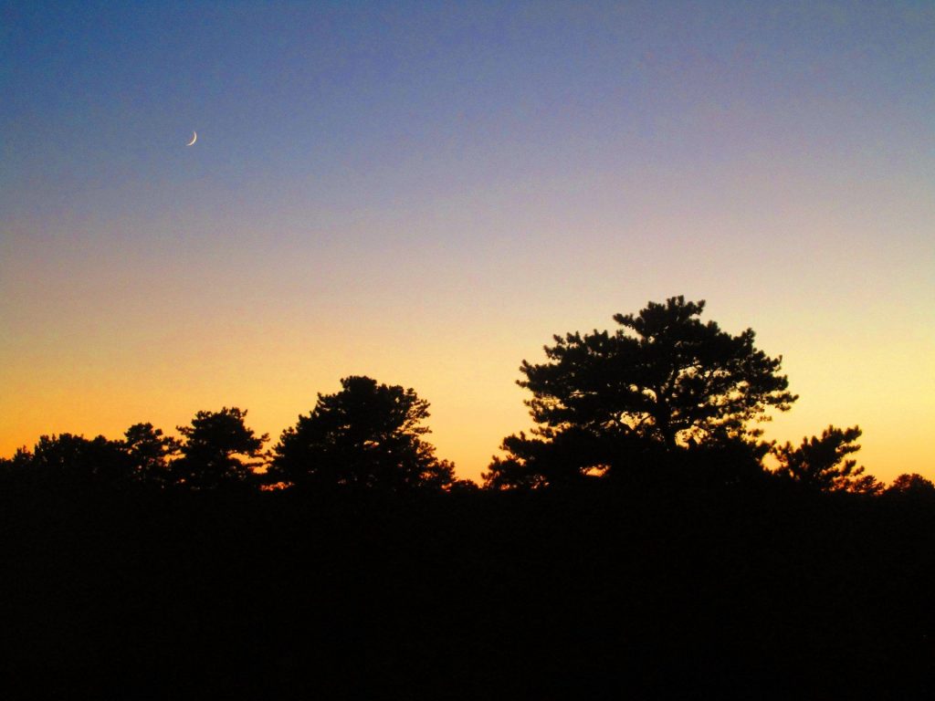
Dusk in the Pine Bush 
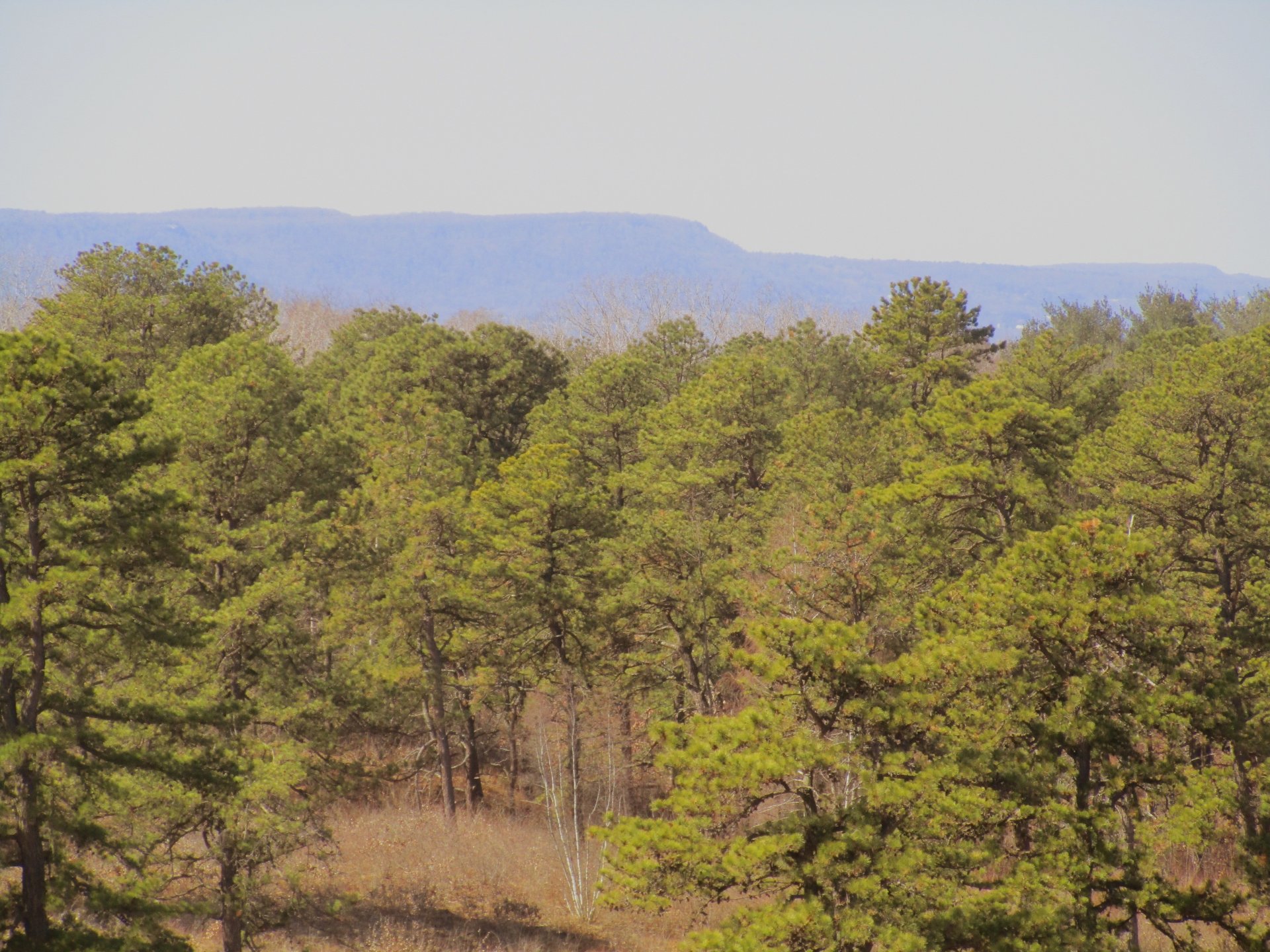
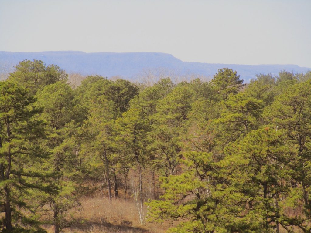
Heldeberg Mountains from Bluebery Hill 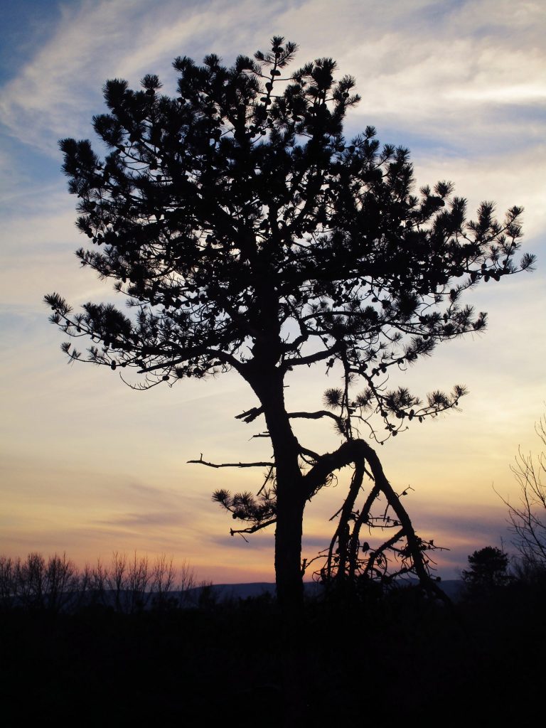
Dusk 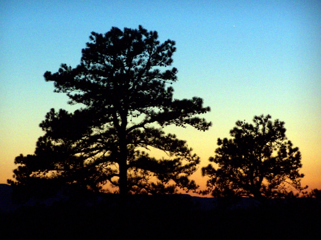
Blueberry Hill is great for watching sunsets 
Viewing the Catskills from Overlook Dune 
Early spring hike 
Many portions of the Pine Bush have been restored to fields of lupine. 
Mid-May Lupine 
Lupine in early June