By John Wolcott
By way of an etremely simplyfied explaination s drumlin is a major and fairly popularly known outwash feature of glaciial retreat.
Over hundreds of thousand of years there have been four major glacial periods on earth when glaciers formed and spread north from the South Pole and south form the North Pole. Then there were interglacial warmer periods. There were miner fluctuations of re advance and re retreat. The fourth North American Glacial Advance; the Wisconsin moved southward to as far as Long Island about 200,000 years ago.
This glacier began retreating about 20,00 years ago and took about 5,000 years to reced back to the Pine Bush region. As the ice melted water went to the bottom throug holes and washed out crush and floured rock material fron the bottom on terrace and elongated frides channel and their direction determined by the ice bottom and direction of recession.
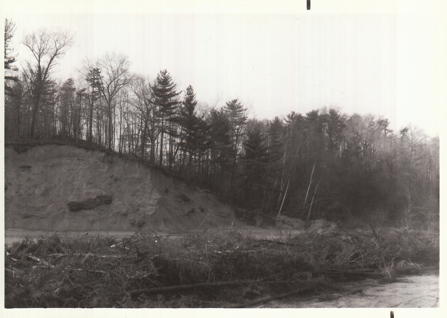
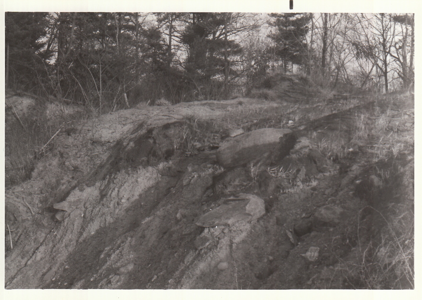
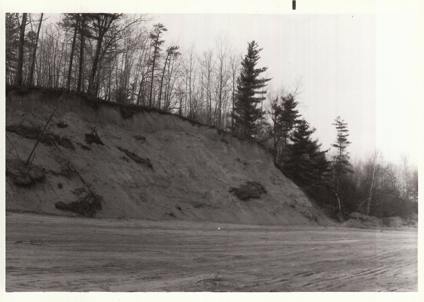
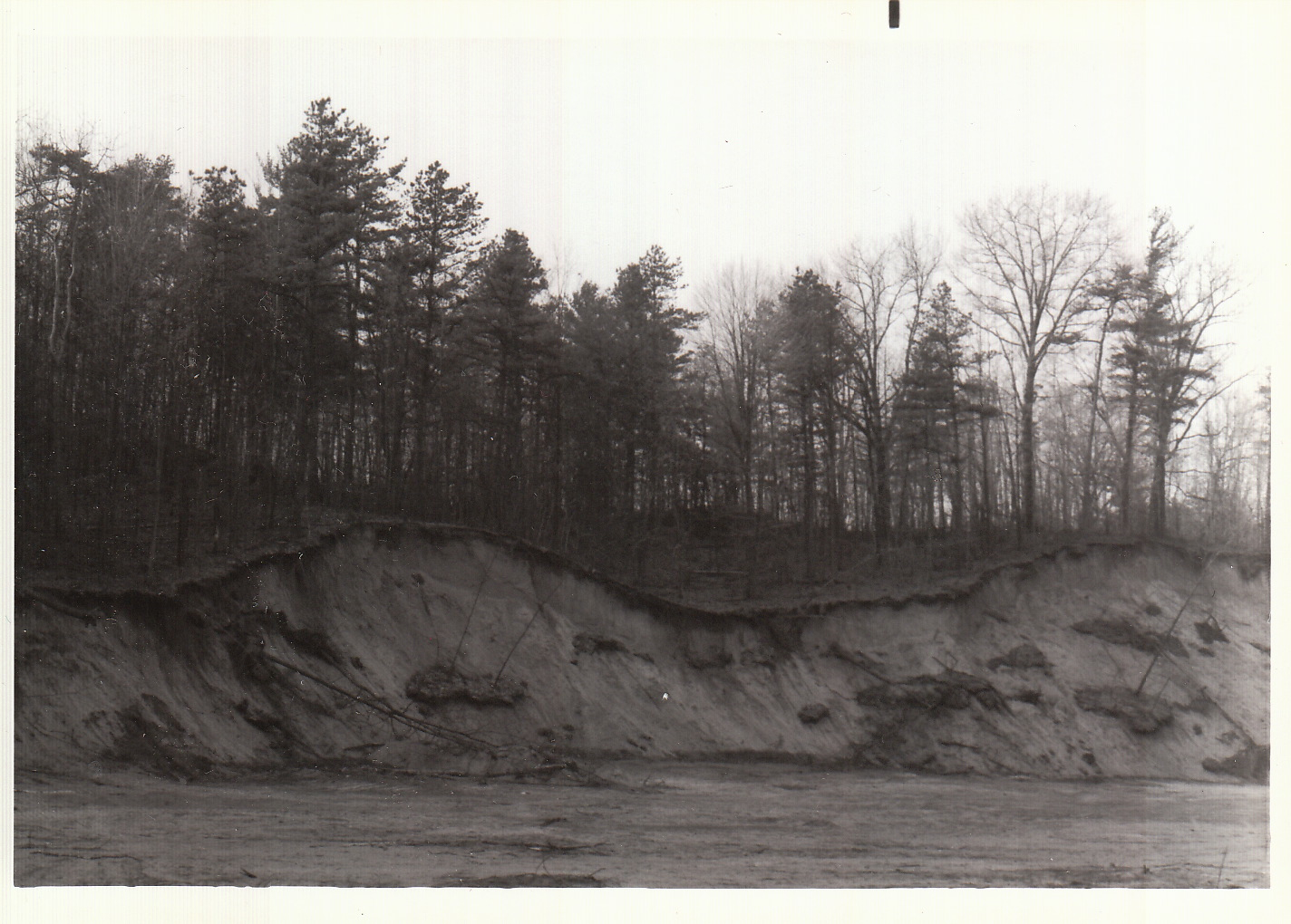
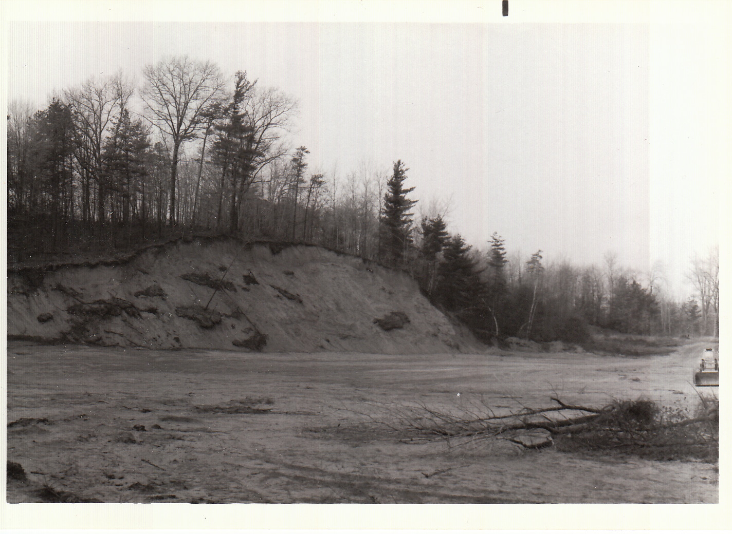
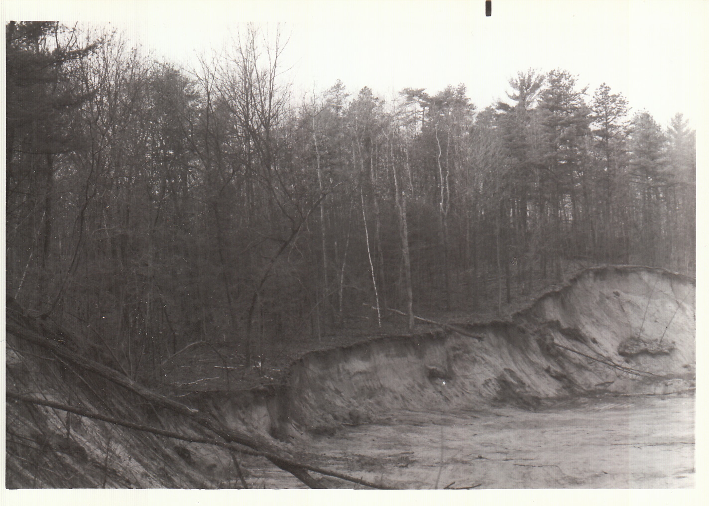
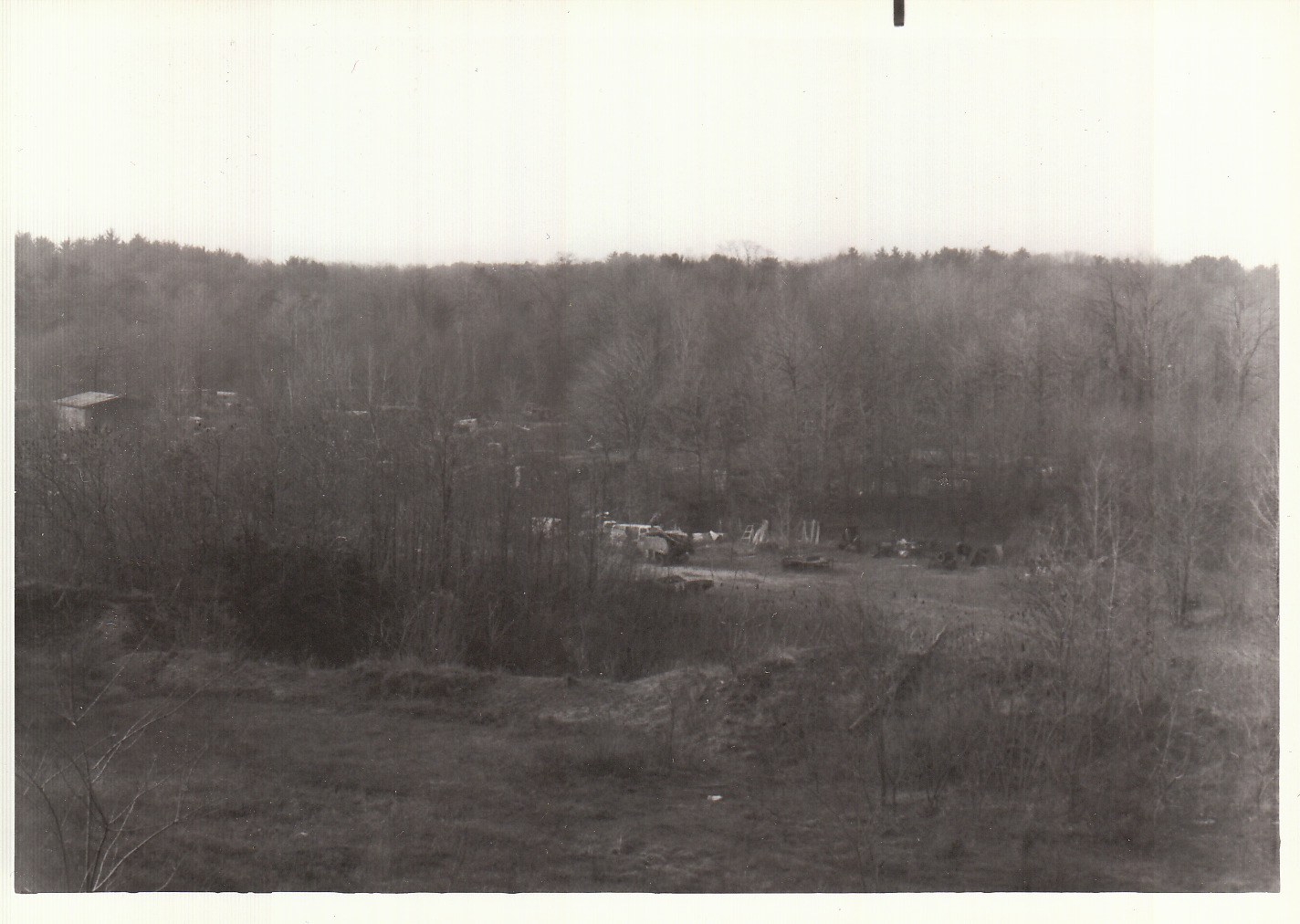
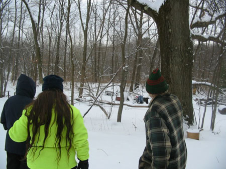
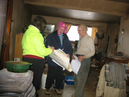
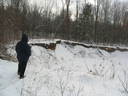
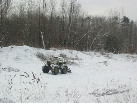
The prominent features of this retreat can still be seen just north of The Pine Bush in Schenectady, Niskayuna, and Colonie. They are drumlns, some of which caused the boughts or bends of the lower Mohawk plus the Loudonville Esker , a narrower form which makes the bend called ” The Boght ” where Rte 9 crosses the Mohawk and from there southerly. At the same time the ice here was melting the melt water filled up a huge basin in the land of the Albany Inner Lowland Basin as defined by the State Geologist Rudolph Rueddeman in Geology of the Captial District 1930 and John H. Cook in Glacial Geology of the Capital District , a chapter in the same work. The water sorted out various grades weights and densities of material in successive layers with clay and lacustrine sand being the top two. This is called Lake Albany by geologiara. This lake at it’s most expansive period extended all the way north to around Glens Falls. It is now the common denominating referene aqnd nexuse for the Karner Blue Recovery Plan between the Karner populatons in Saratoga County in placs like the County Airport and Wood Road in Clifton Park. After a few more thousand year the lake drained out. Then winds and plants climatic changes and the first growths of vegetation did the rest to form the Pine Bush. This is neatly summarized by Bob Dineen in his NYSMuseuim Circular 47 Geology and Land Uses in the Pine Bush 1975, which should be still in available and which I strongly recommend . Which doesn’t seem accounted for, at least in what I have read, is the presence of some drumlins of this area have their southern reaches within the Pine Bush where they are sort of disguised by wind blown sand. The most prominently of these semi submetged drumlins is the one which the SPB Hike of last December was conducted to a small portion of. This is a long north south ridge running from where the Thru Way cuts off a little bit at it’s south end northwardly to about the junction of Curry Road and Morris Road . The highest part is near here at 445 feet above sea level; the highest point withingthe contiguous Pine Bush. It is also where a predecessor version of the present Kings Highway coursed between The Hudson and Mohawk Rivers. This hill was by the Dutch settlers termed the Uyt Kyck or the Lookout. The Mohawk name for the Uyt Kyck is ” Otgatenonde ” Nonde, of course, means hill but I know not what the rest means. If anyone knows please let us know. In connexion with the early road and the high elevation and the Dutch name ; there is an 18th. century account of traders from Schenectady using the top to spot Indian fur traders on their way to Albany so they could head them off with better offers. A then illegal practice. The Uyt Kyck was also an important survey station in the long standing land dispute between the owners of the VAn Ball Patent and Rensselaerwyck. The mainmost of the Uyt Kyck is on privater property so we only went to the little bit in Fusco Park to see some glacial till there. The main Uyt Kyck should have been preserved many years ago, and the sand and gravel mining there put a stop to. The Town of Guiderland , The Pine Bush Commission and the ir acquisiton partners are still too slow to catch the significance ot the place or to empasize the glacial background of the Pine Bush. This is even important to grasp the timetable differences between past interglacial warmings and whats happening with global heating now. The big oil and coal companies denial machine lie now , has come to focus on ” Global warming is happeniing but it’s not caused by us it’s perfectly natural as seen by past cycles”. Is the last refuge of the liar a half truth?
Let me here point out that the drumlin are oriented north and south . This being gthe direction of the Glacier’s retreat. The Pine Bush parabolic and paraboloid dunes are oriented in respect to there lateral ridges, in a west to east direction ; that being long the prevailing wind direction most of every year. There are some inteeresting points of intersection between the Pine Bush Dune Field and a few features from the drumim field at it'[s north that project sothwardly into the dune field. A good reference for anymore more interested in this phenonemon woudl be in Bob Dineen’s monagraph cited above at Figure 3 and figure 10 . Then afterfwards; graduate to the USGS Topographical Quadrangles of Voorheesviille, Schenectady, Niskayuna and Albany for finer details.
Published in January/February 2011 Newsletter
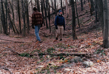
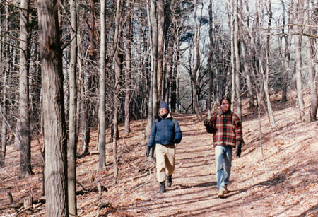
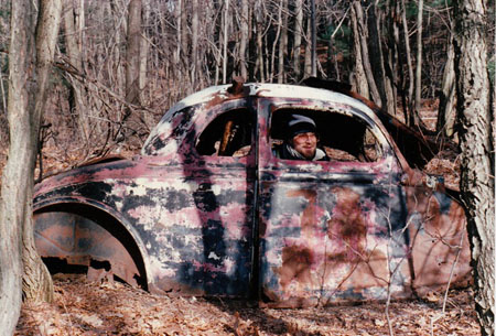
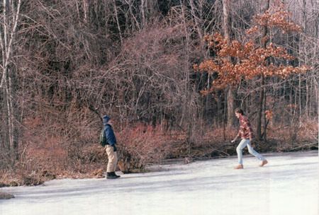
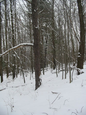
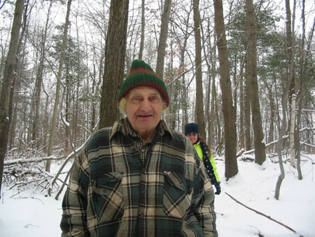

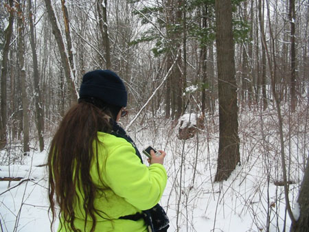
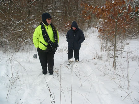
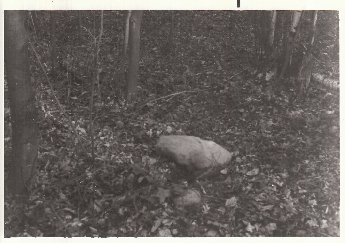
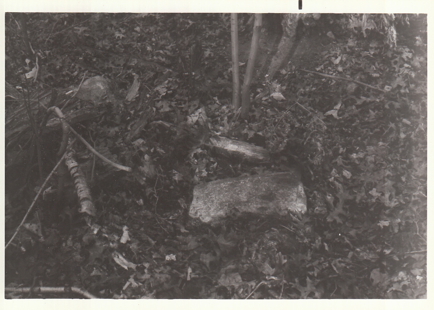
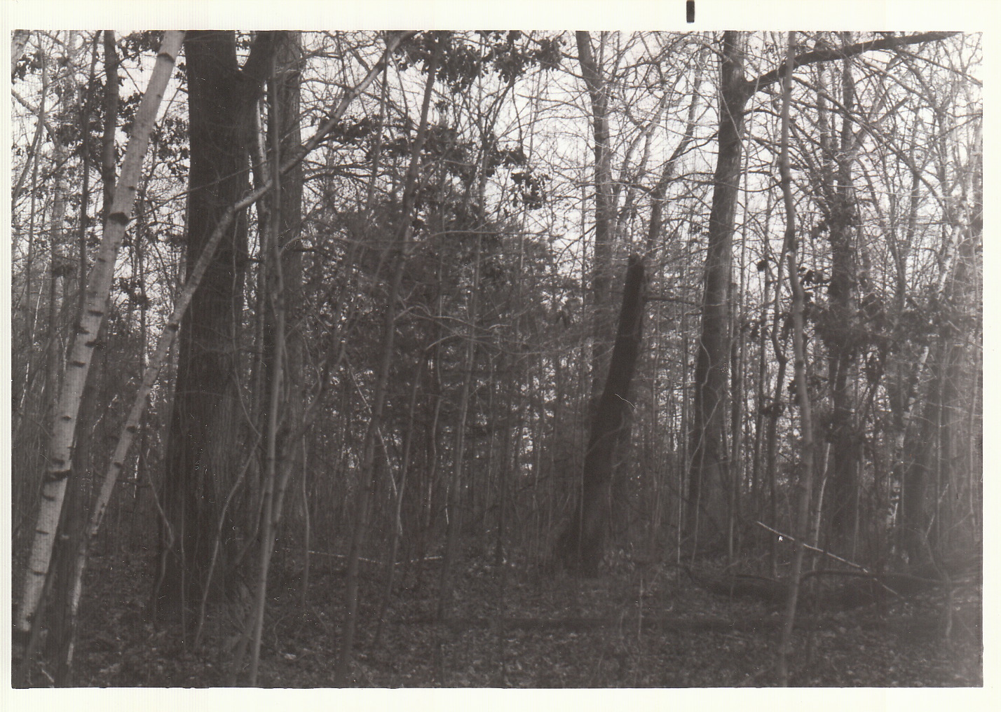
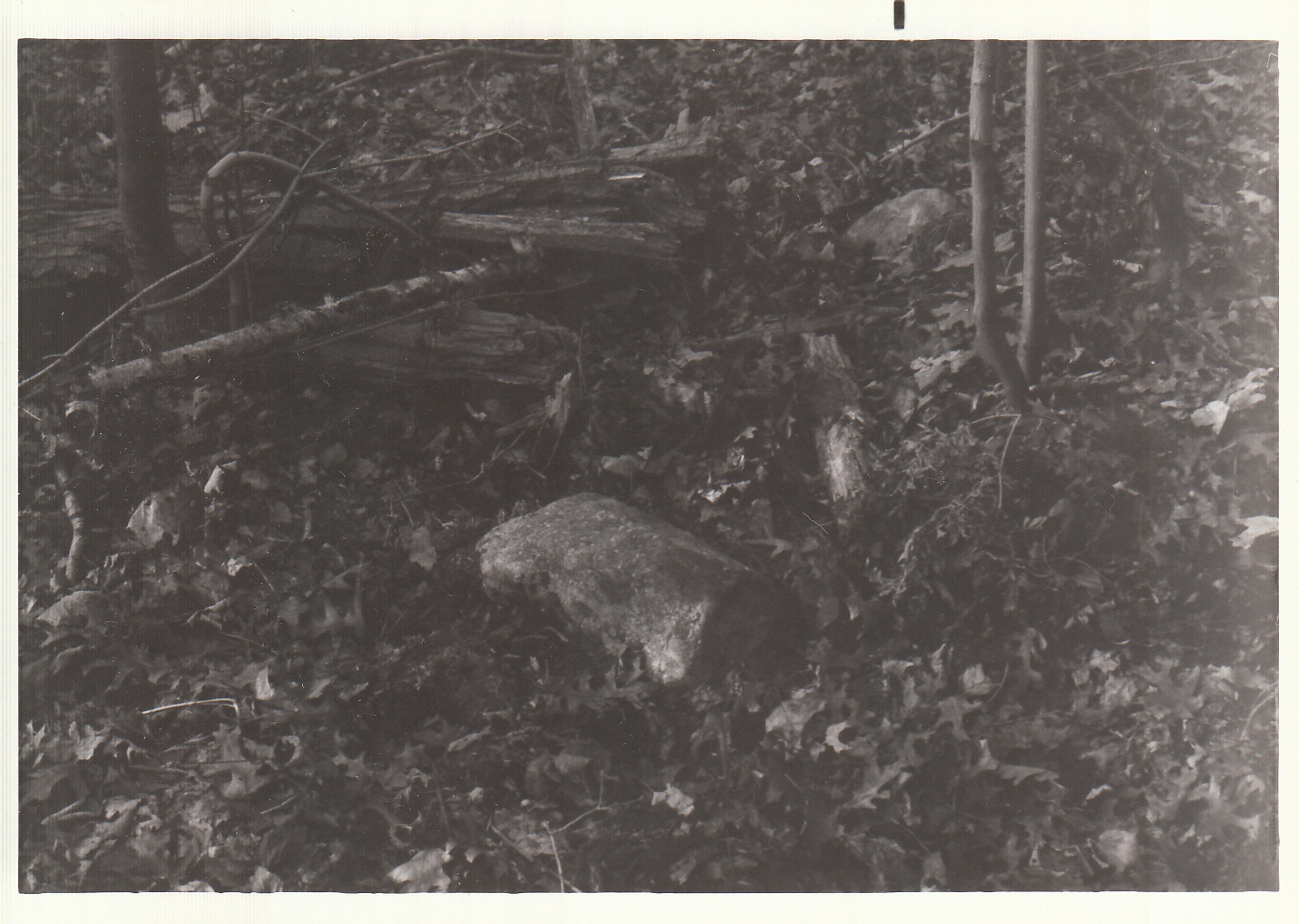
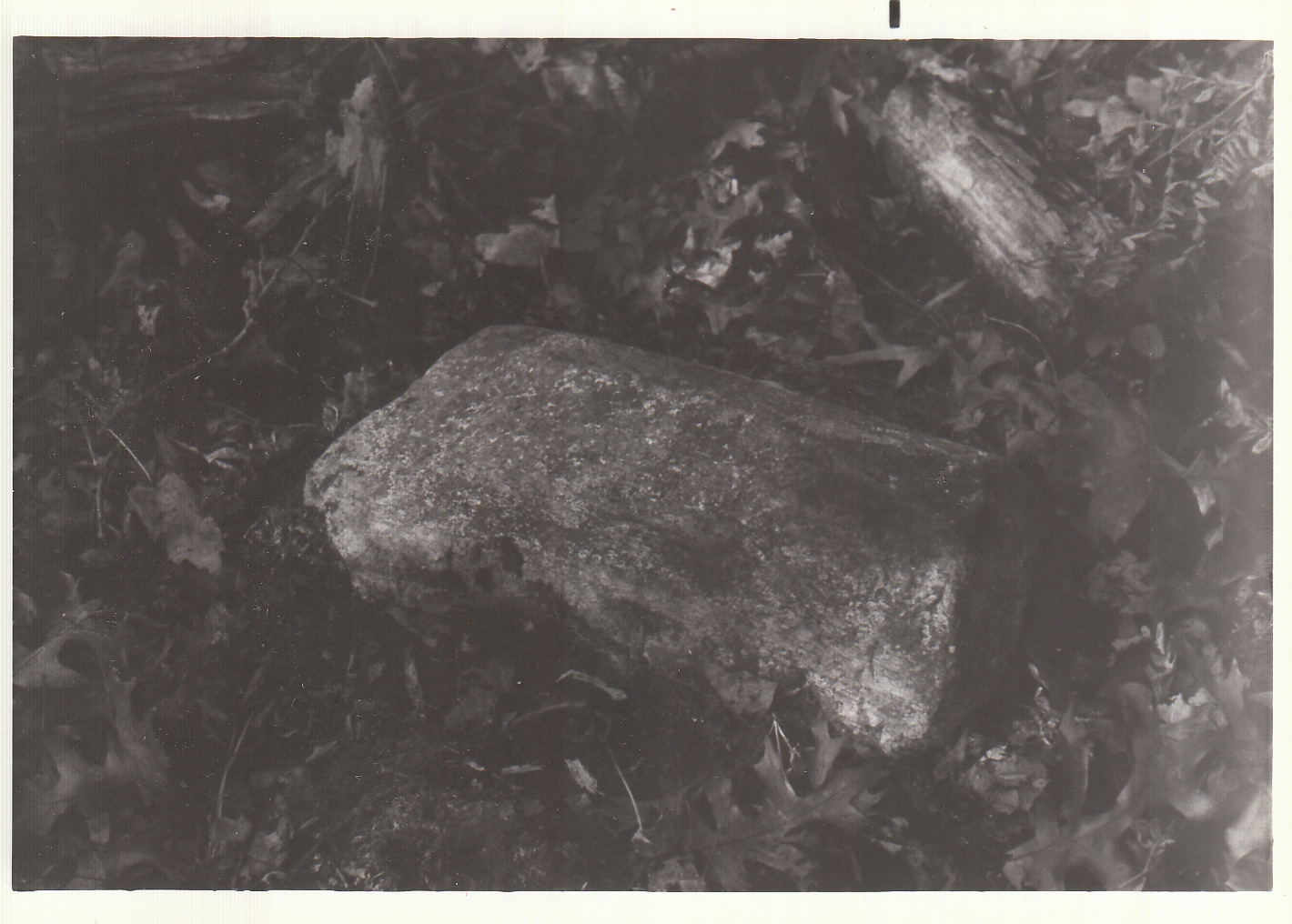
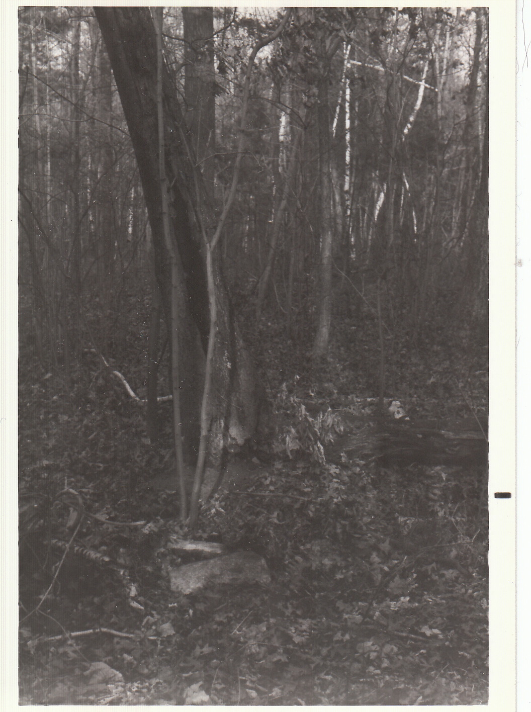
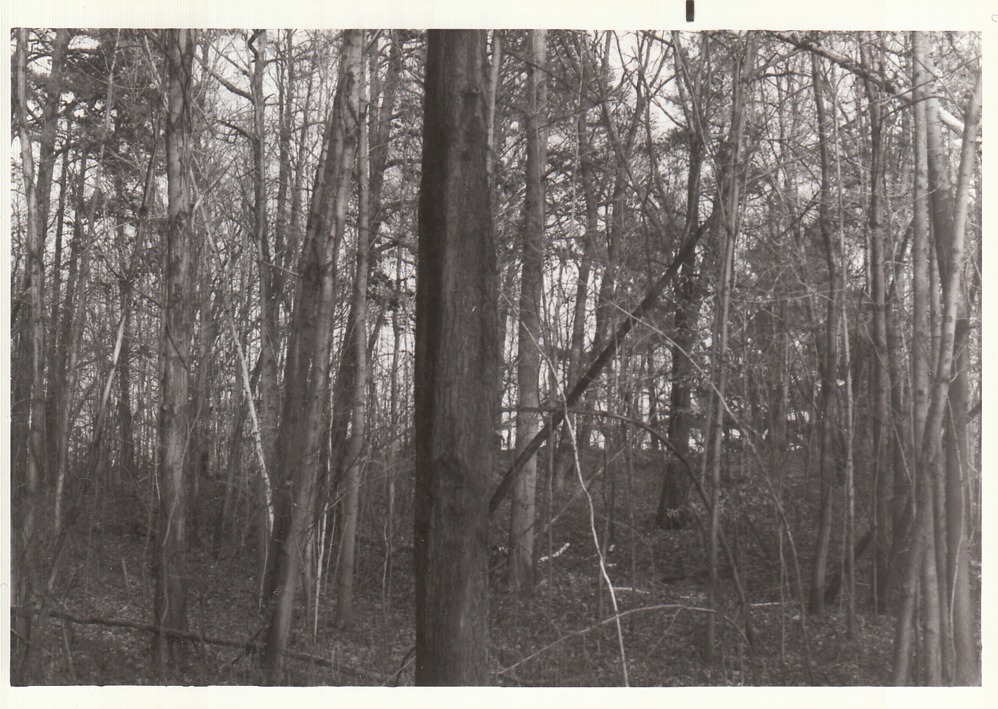
uyt-kuik Morris Rd Curry Rd 1984 Drumlin/Dune hike 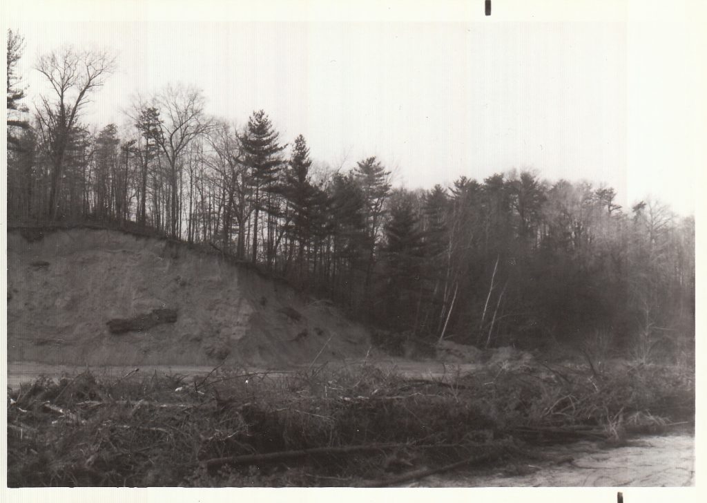
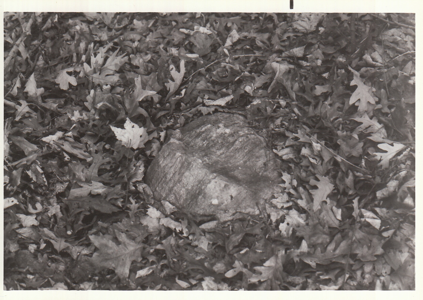
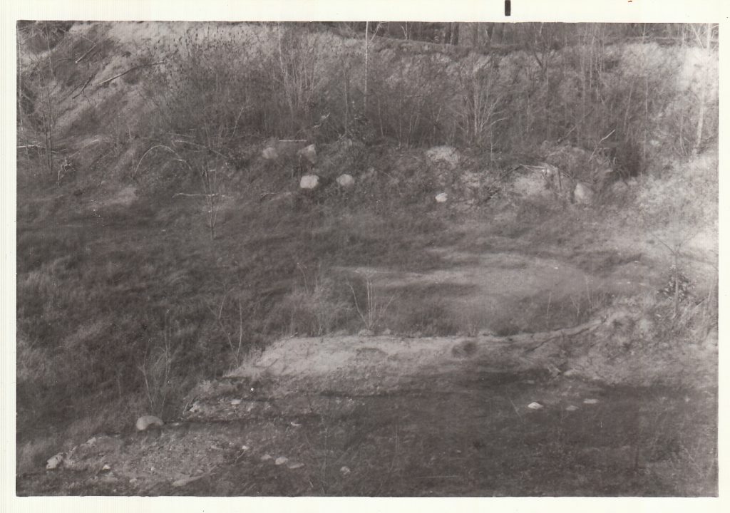
uyt-kuik Morris Rd Curry Rd 1984 Drumlin/Dune hike 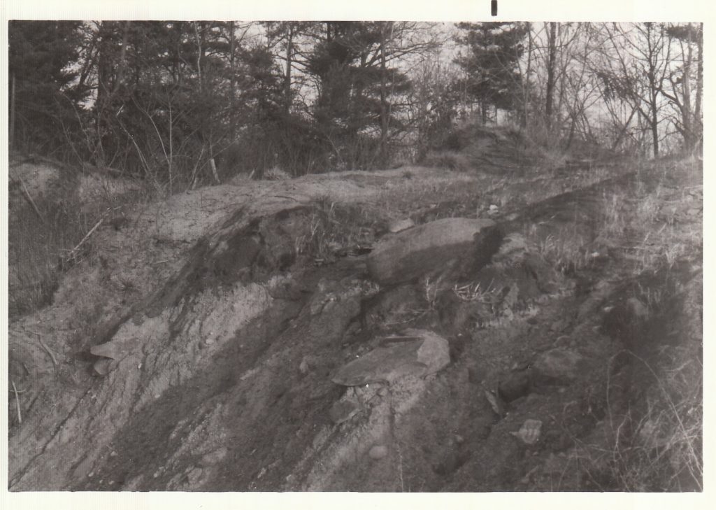
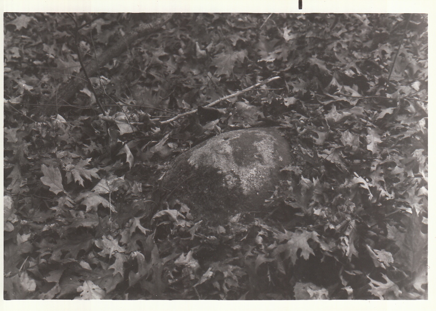
uyt-kuik Morris Rd Curry Rd 1984 Drumlin/Dune hike 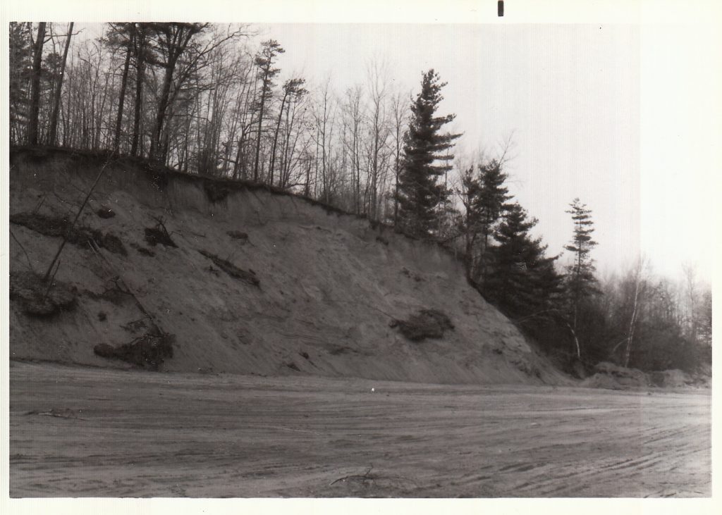
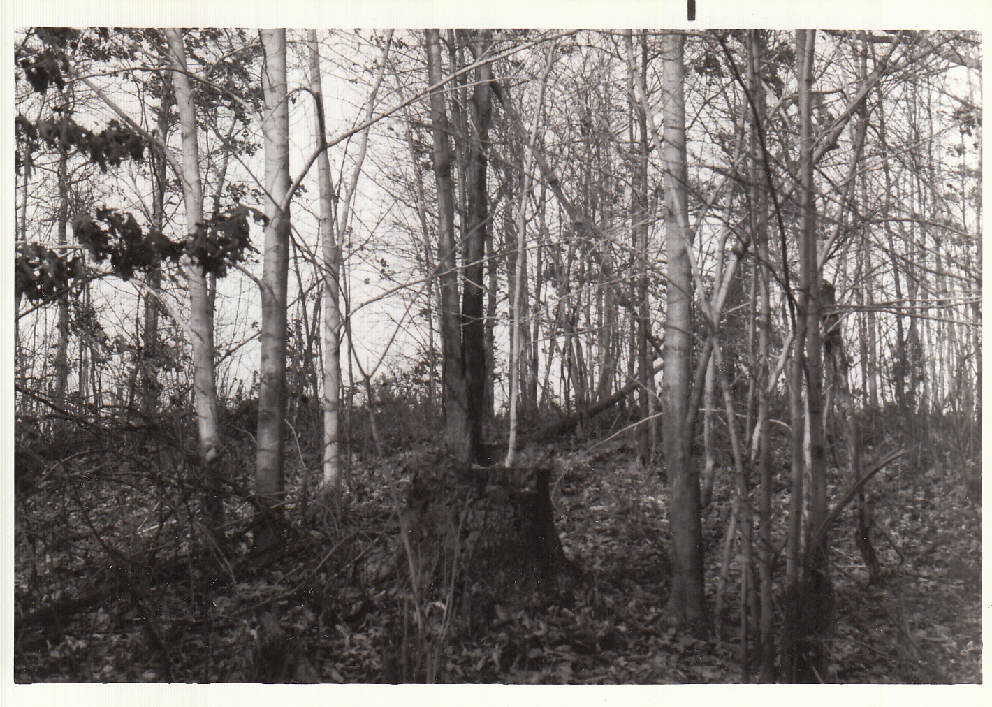
uyt-kuik Morris Rd Curry Rd 1984 Drumlin/Dune hike 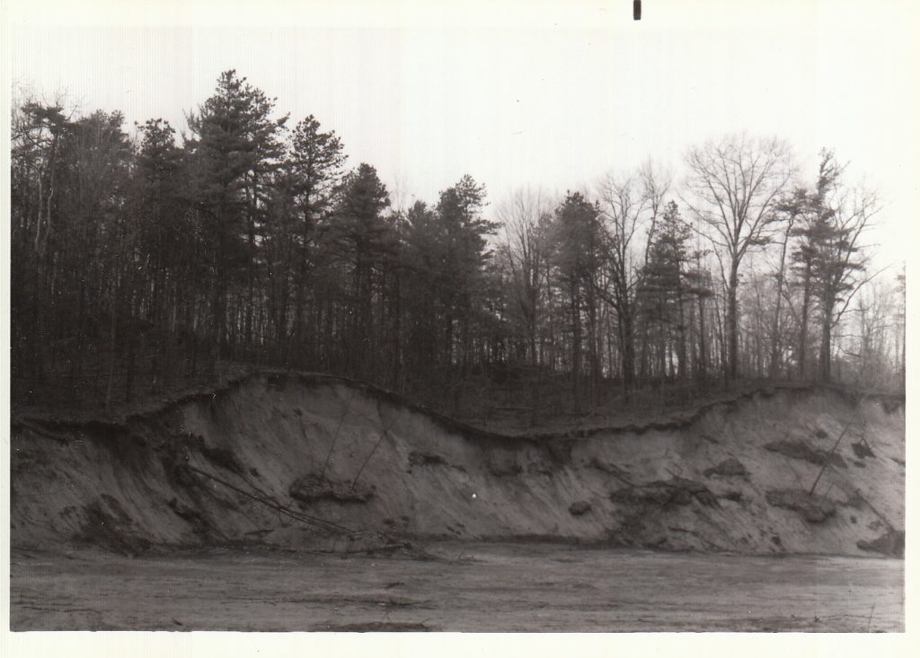
uyt-kuik Morris Rd Curry Rd 1984 Drumlin/Dune hike 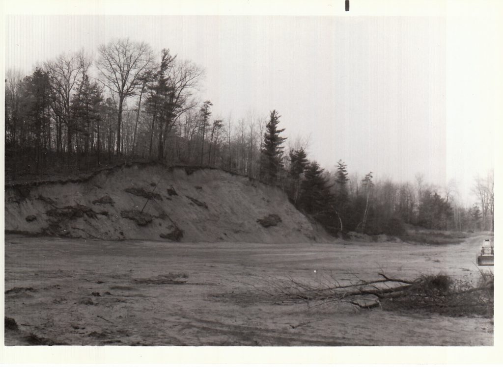
uyt-kuik Morris Rd Curry Rd 1984 Drumlin/Dune hike 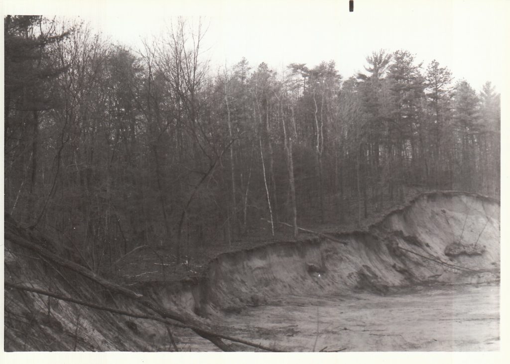
uyt-kuik Morris Rd Curry Rd 1984 Drumlin/Dune hike 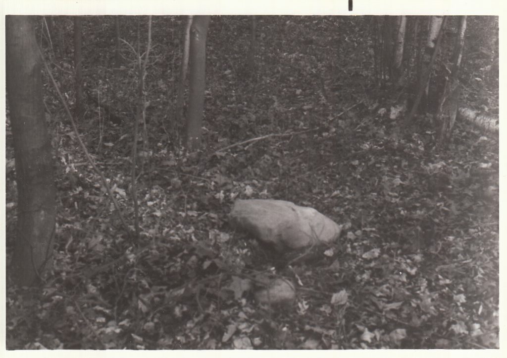
uyt-kuik Morris Rd Curry Rd 1984 Drumlin/Dune hike 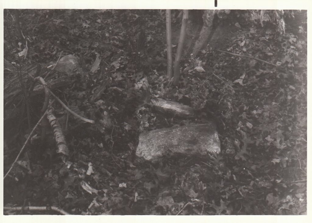
uyt-kuik Morris Rd Curry Rd 1984 Drumlin/Dune hike 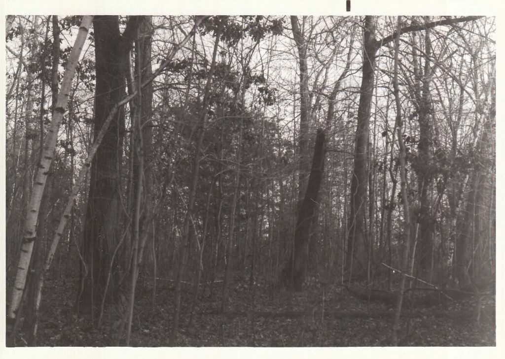
uyt-kuik Morris Rd Curry Rd 1984 Drumlin/Dune hike 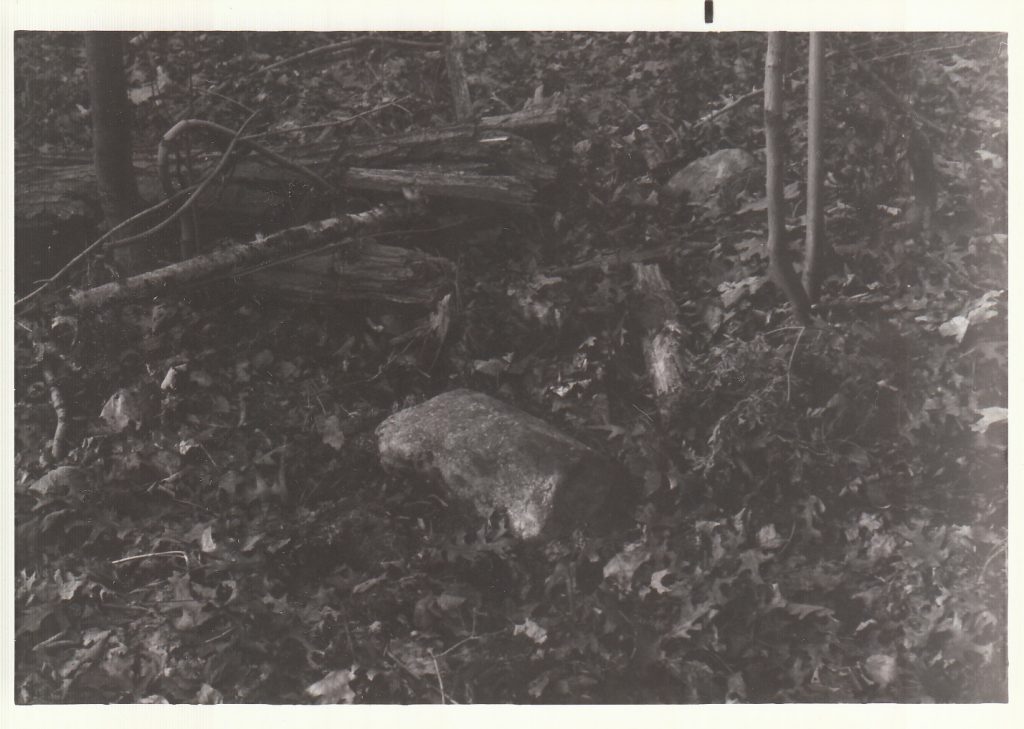
uyt-kuik Morris Rd Curry Rd 1984 Drumlin/Dune hike 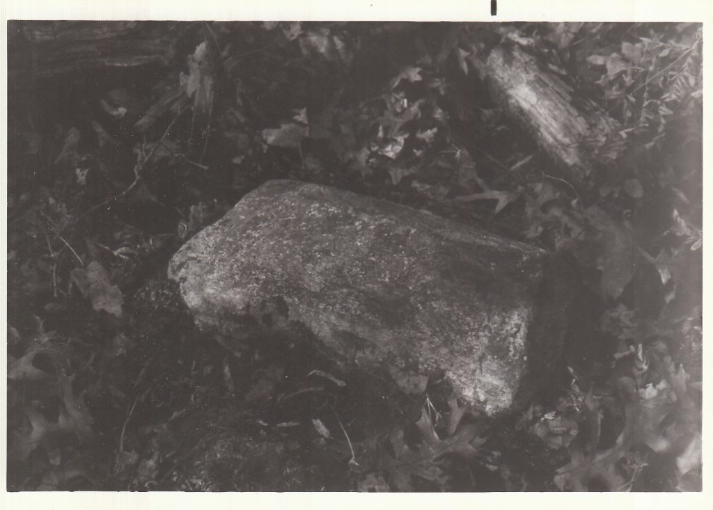
uyt-kuik Morris Rd Curry Rd 1984 Drumlin/Dune hike 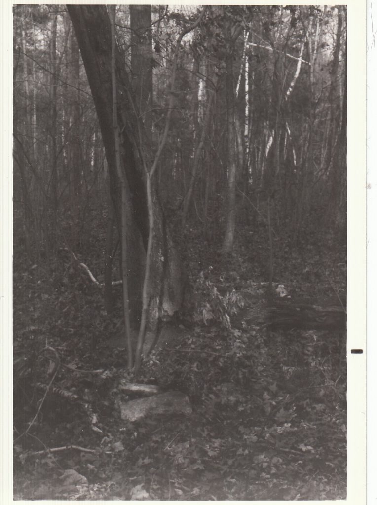
uyt-kuik Morris Rd Curry Rd 1984 Drumlin/Dune hike 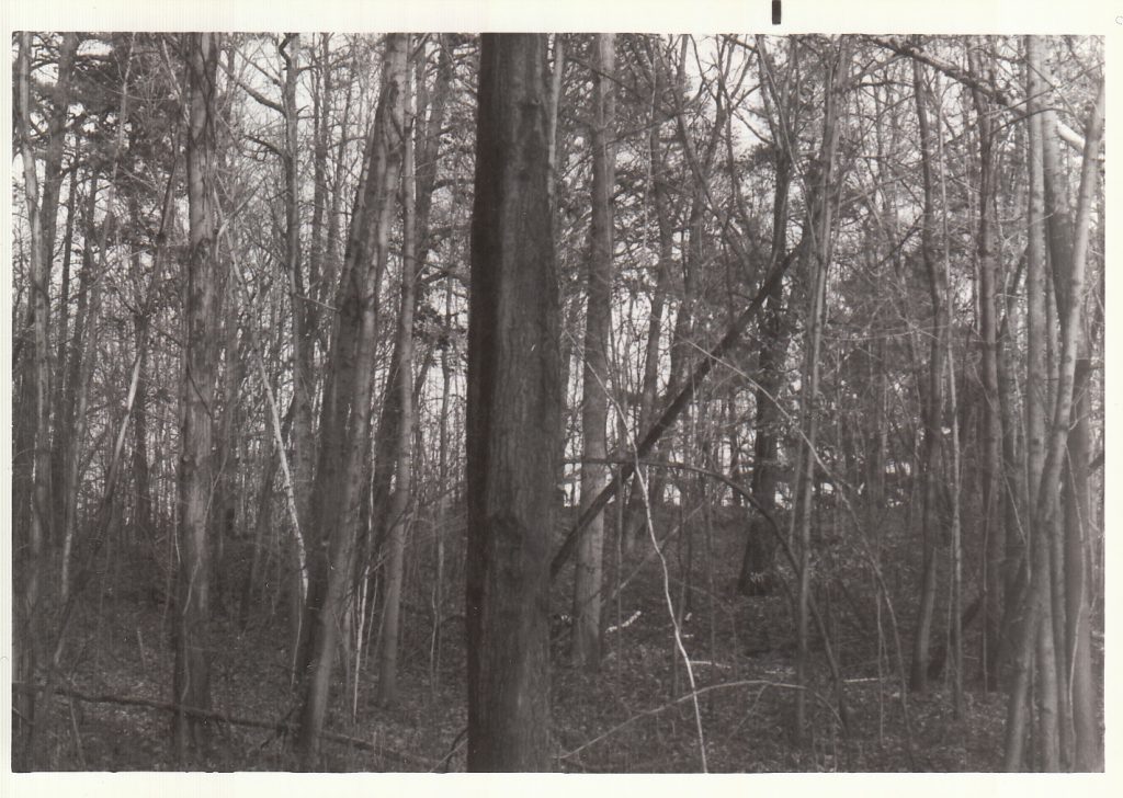
uyt-kuik Morris Rd Curry Rd 1984 Drumlin/Dune hike 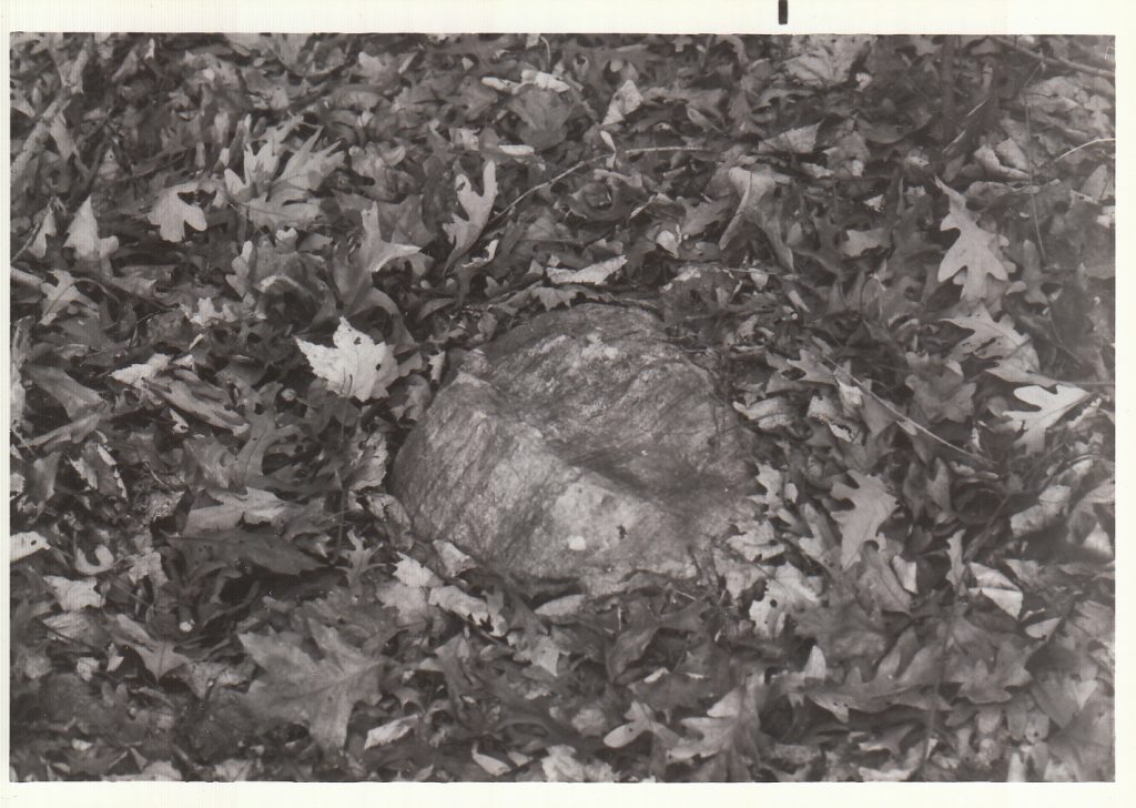
uyt-kuik Morris Rd Curry Rd 1984 Drumlin/Dune hike 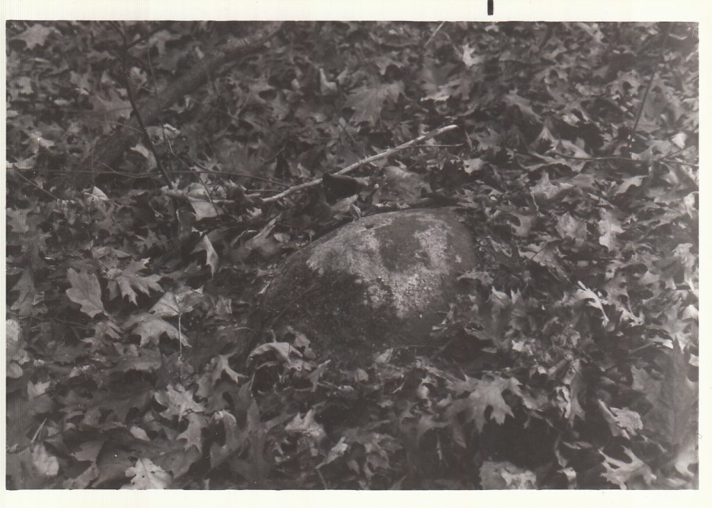
uyt-kuik Morris Rd Curry Rd 1984 Drumlin/Dune hike 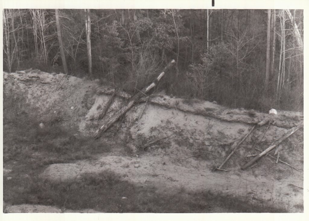
uyt-kuik Morris Rd Curry Rd 1984 Drumlin/Dune hike 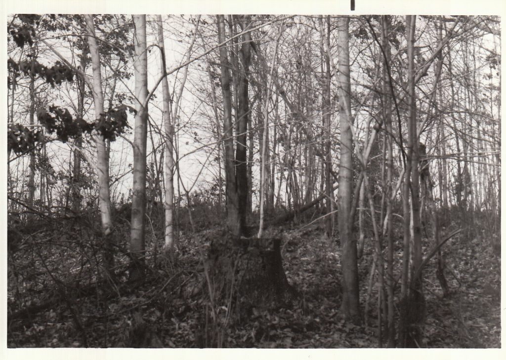
uyt-kuik Morris Rd Curry Rd 1984 Drumlin/Dune hike 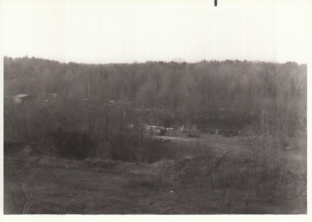
uyt-kuik Morris Rd Curry Rd 1984 Drumlin/Dune hike